Tekoppstetten (365m)

Tekoppstetten (365m)

Altitude
365 m
Summit elevation
Distance
3.7 km
Round trip distance
Duration
~2.5 h
Total hiking time
Difficulty
4/10
Effort level

About This Hike – A Short Introduction

Coming soon…

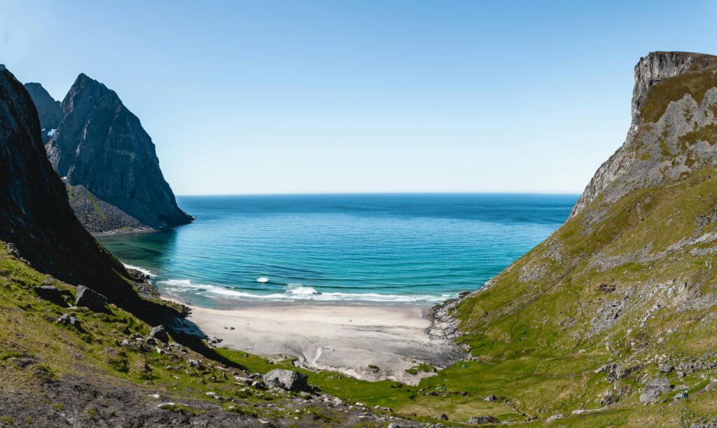
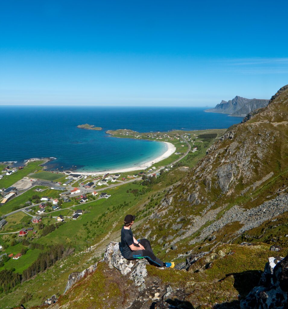
Hike Overview – What to Expect on the Hike

Coming soon…

Getting There & Parking – How to Get There and Where to Park

Trailhead – How to Find the Start of the Hike

Coming soon…

Where to stay?

Find hotels, cabins and rorbuer near Tekoppstetten (365m).

Live Weather

Updated 14:51
Now
Clear sky
Temperature
10°C
Wind (avg / gusts)
2 m/s (5 m/s)
Precip
0 mm
Next 12 hours
15:00
10°
0%
7 m/s
16:00
10°
0%
6 m/s
17:00
10°
0%
5 m/s
18:00
10°
0%
5 m/s
19:00
0%
4 m/s
20:00
0%
3 m/s
21:00
0%
2 m/s
22:00
0%
3 m/s
23:00
0%
3 m/s
00:00
0%
3 m/s
01:00
0%
3 m/s
02:00
0%
4 m/s

Photos

Nearby Hikes

Ryten (543m)

Ryten (543m)

8.6 km away
View
Altitude
543 m
Distance
7.3 km
Duration
5 h
Difficulty
7/10
Nubben (240m)

Nubben (240m)

8.9 km away
View
Altitude
240 m
Distance
1.2 km
Duration
1 h
Difficulty
2/10

Hike Map – GPX Route

Reviews

0
0 out of 5 stars (based on 0 reviews)
Excellent
Very good
Average
Poor
Terrible

There are no reviews yet. Be the first to write one!


Write a review

0