Your guide to hiking in Lofoten
Your guide to hiking in Lofoten
Nubben (240m)
Easy


About This Hike – A Short Introduction
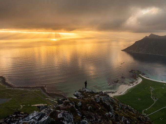
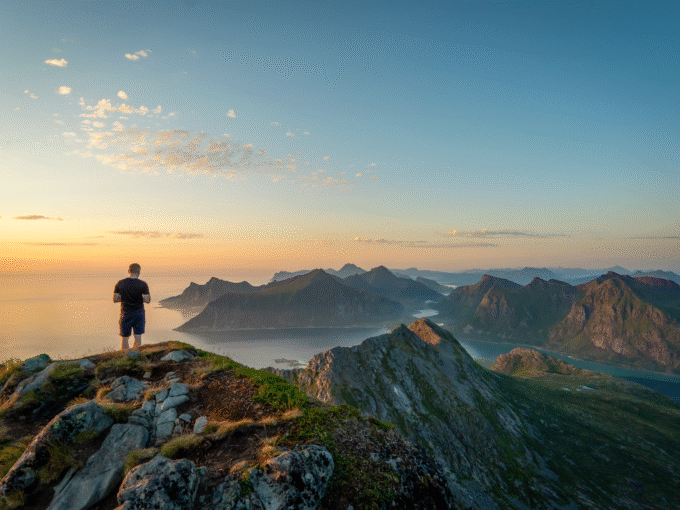
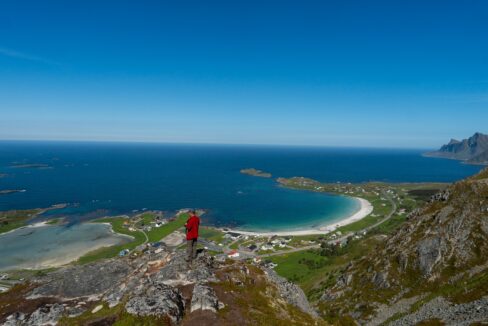
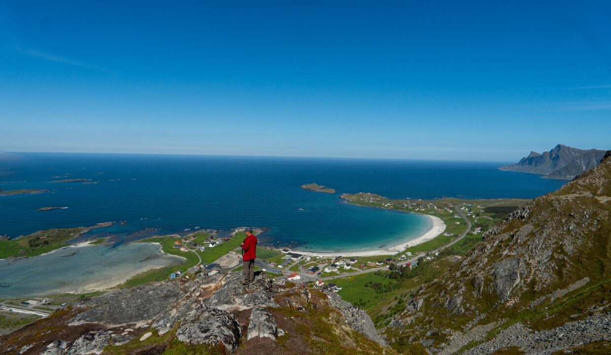
Nubben is a short but steep hike just outside the village of Ramberg on Flakstadøya in Lofoten. Although it only reaches 240 meters above sea level, the summit offers amazing views over Ramberg Beach, the Fredvang bridges, and the mountains of Moskenesøya. It’s a great choice for a quick adventure with rewarding views.
Getting There & Parking – How to Get There and Where to Park
You’ll find the hike starting near Ramberg, a small village on the island of Flakstadøya. If you’re driving, park your car at Bunnpris Ramberg, a grocery store in the center of the village. From there, it’s a short 5 minute walk to the trailhead.
Click here to find the parking lot on Google Maps.
Trailhead – How to Find the Start of the Hike
From Bunnpris, walk in the direction of the white community house called “U.L. Lysbøen.” Just before reaching it, turn left and you’ll see a clear path heading uphill. This is the start of the hike to Nubben.
Hike Overview – What to Expect on the Hike
The hike up to Nubben is short but steep right from the beginning. It starts by climbing a grassy slope, and while there are no trail markers, the path is well-trodden and easy to follow. You gain elevation quickly, so it’s a bit of a workout, but you’re rewarded early on with fantastic views opening up behind you.
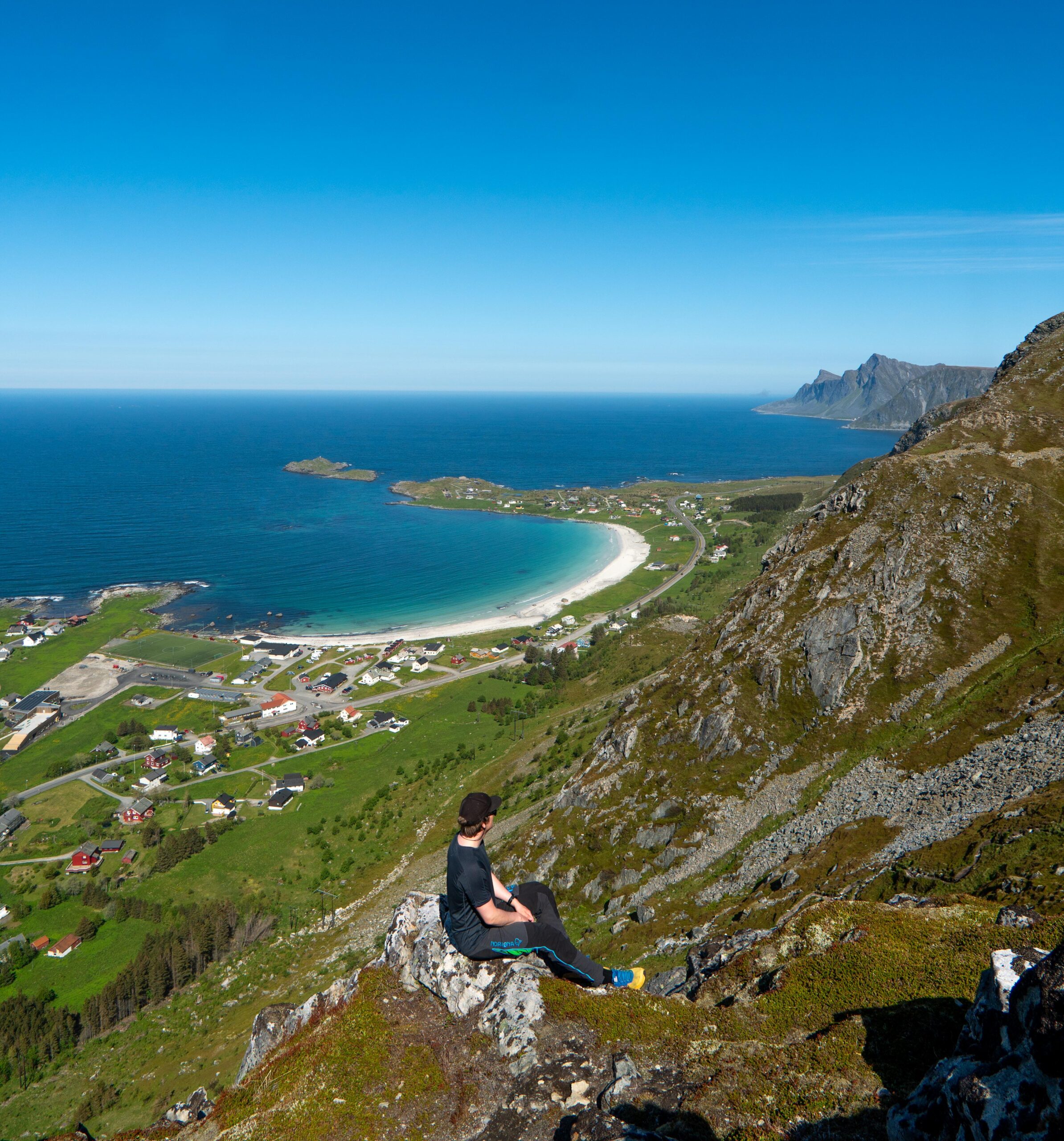
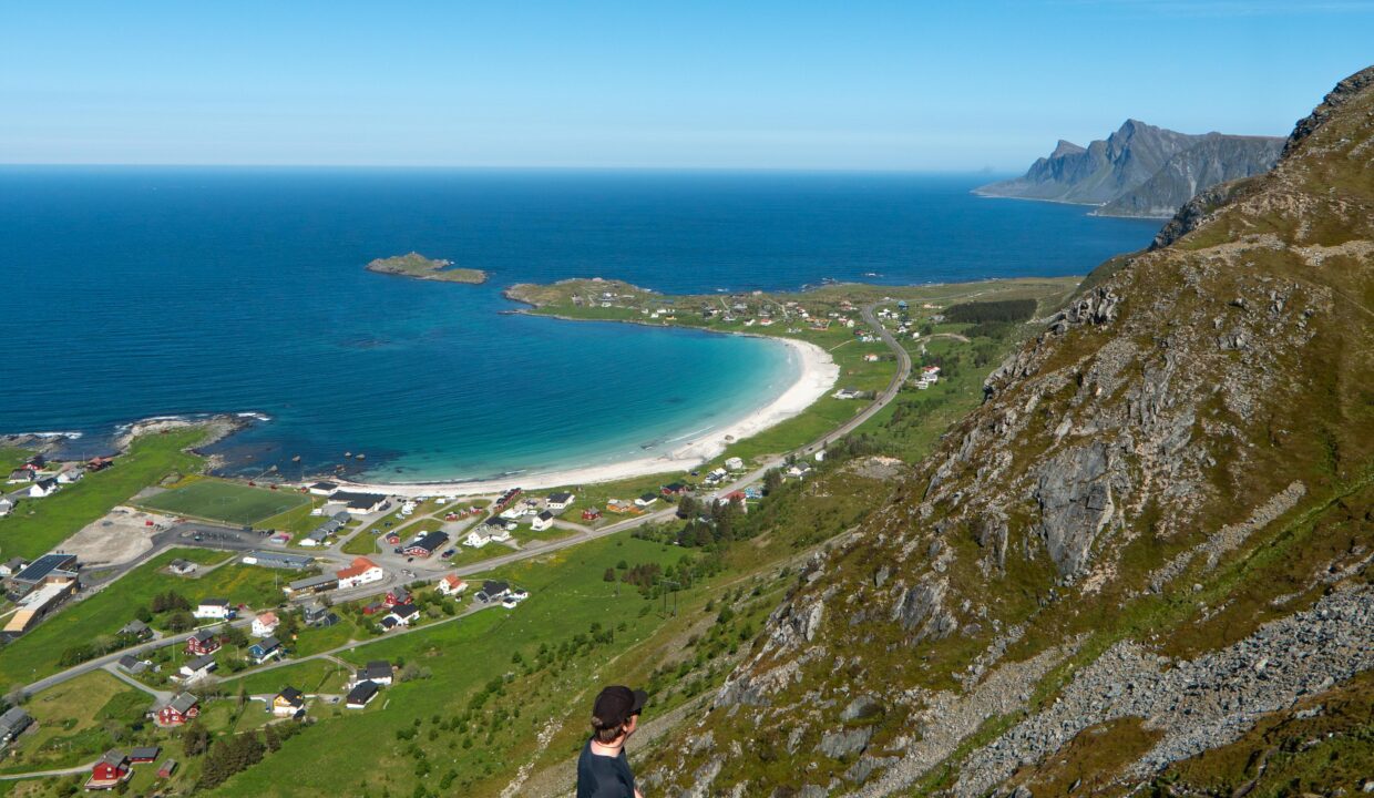
After 20–30 minutes of climbing, you reach a small plateau where the trail splits. If you take the right-hand path, it leads just a few meters up to the summit of Nubben. It’s a rounded rocky top with plenty of space to sit down, take a break, and enjoy the view.
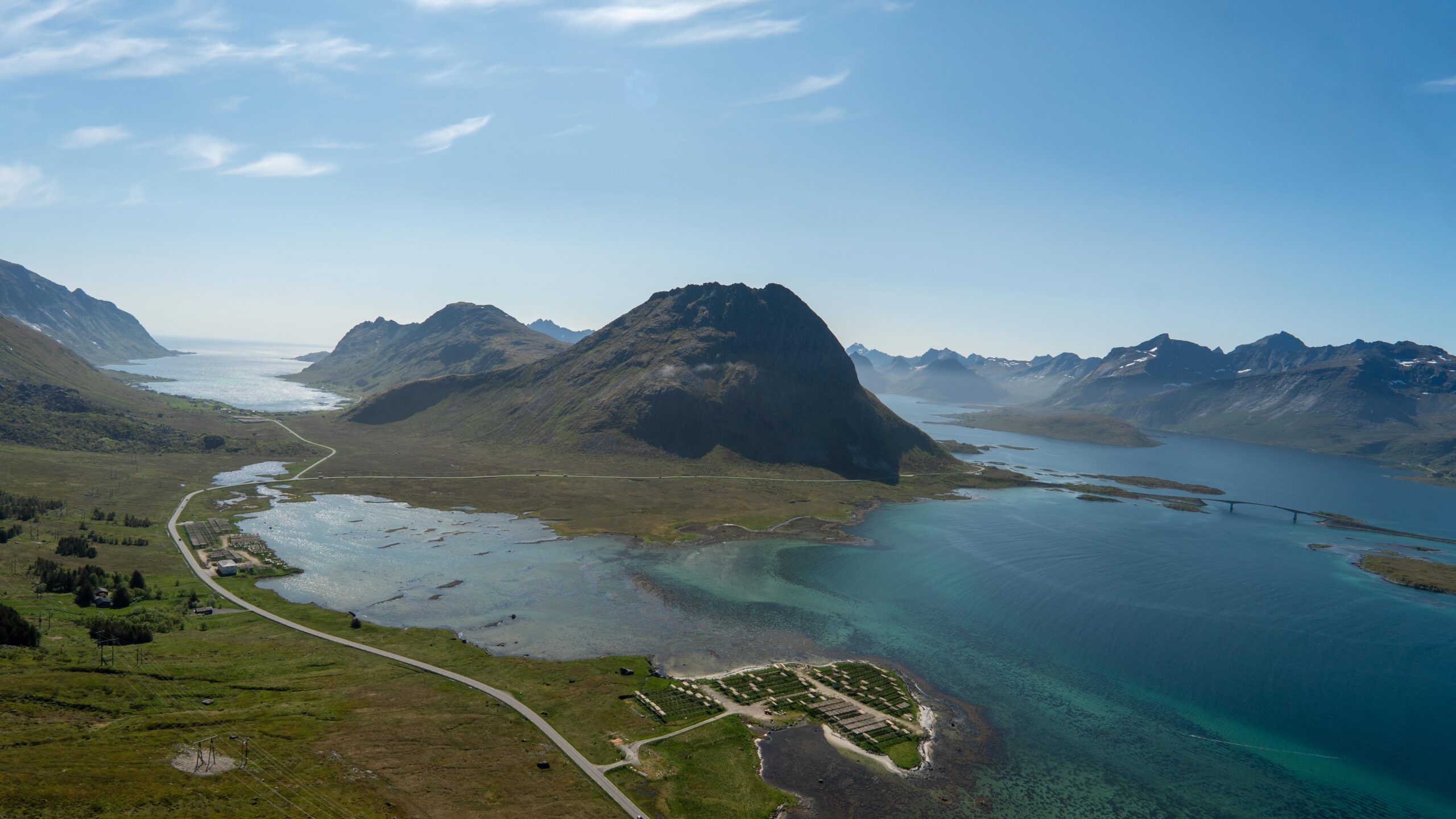
From the summit, you get an incredible view. Ramberg and its white-sand beach lie directly below, with the Fredvang bridges and the mountains of Moskenesøya visible in the distance. On a clear day, you can see far across the surrounding fjords and coastline. It’s a surprisingly scenic spot considering how short the hike is.
Once you’ve enjoyed the view, head back down the same way. The descent is quick but steep, so take your time — especially if the ground is wet. The full round trip usually takes about 45 minutes to 1 hour, depending on how long you stay at the top.
Even though it’s a short hike, Nubben feels like a proper mountain with a rewarding view. It’s great if you want something quick and beautiful, or as a warm-up for a longer hike like Moltinden.
Hike Map – GPX Route and Elevation Profile
Weather Forecast – Check the Weather Before You Hike

GPX Note
Please note that the GPX files provided are not 100% precise. They should be used as a general reference for guidance and not as the sole source of navigation. Always ensure to stay aware of your surroundings to ensure your safety while hiking.