Your guide to hiking in Lofoten
Your guide to hiking in Lofoten
Ryten (543m)
Medium


About This Hike – A Short Introduction
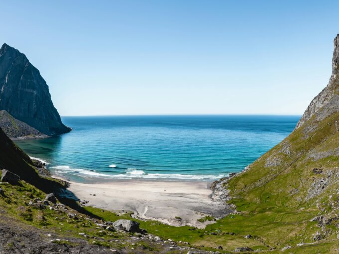
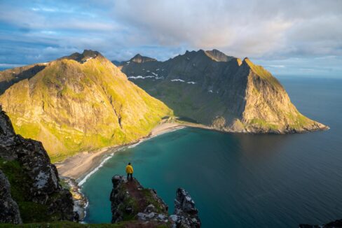
Ryten (543m) is one of Lofoten’s most stunning hikes, offering breathtaking views over the turquoise waters and white sand of Kvalvika Beach. The hike is 7 km round-trip, taking 3 to 5 hours to complete. It is considered easy to moderate, making it suitable for most hikers. The trail is well-marked, with wooden boardwalks over boggy sections and a mix of meadows and rocky paths.
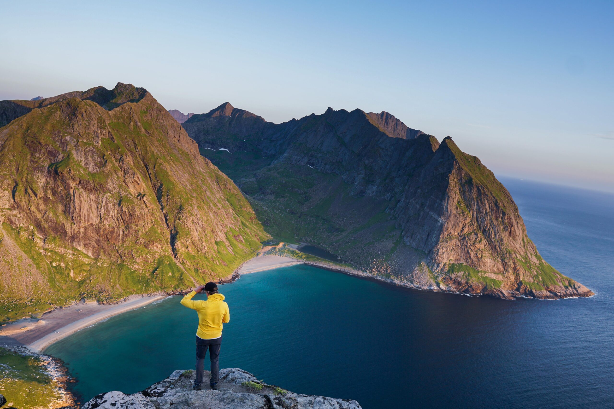
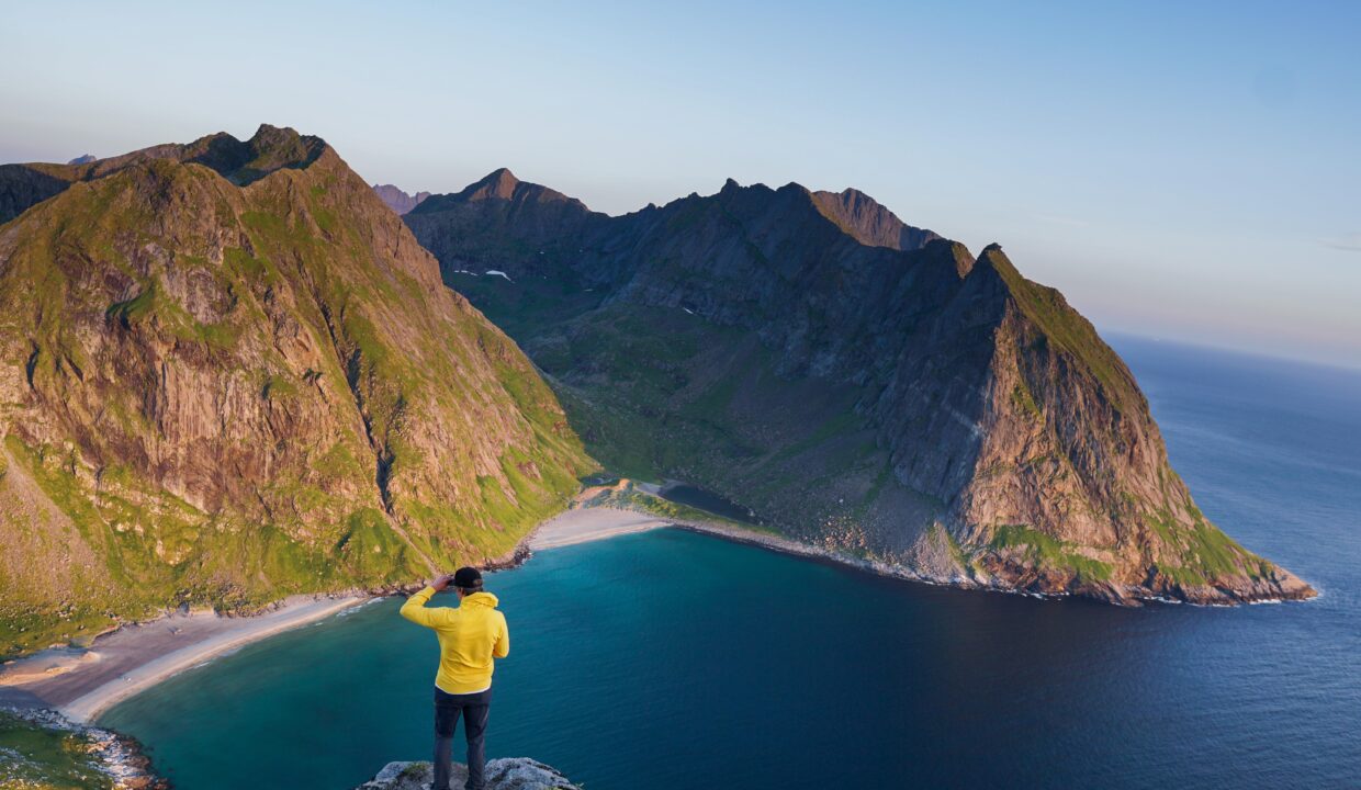
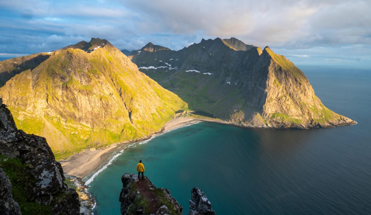
The highlight of the hike is the panoramic view from the summit, where you can see the entire stretch of Kvalvika Beach and the dramatic peaks surrounding it.
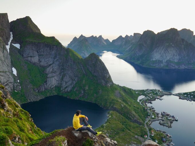
There’s also a well-known photo spot – a rock ledge jutting out over the fjord, creating an epic (but safe) illusion of a daring cliffside photo.
Getting There & Parking – How to Get There and Where to Park
Ryten is located on the island of Moskenesøya, near the village of Fredvang in Lofoten. The best way to get there is by car. From the E10 highway, take the turn-off toward Fredvang and cross the twin Fredvang Bridges.
After crossing the Fredvang bridges, follow the signs toward Yttersand. To reach the parking area, drive towards Yttersand, but when you reach a red house where the road splits, turn left towards Indresand. The parking lot is called Innersand Parking and costs around 100 NOK (payable by cash, card, or Vipps). Toilets and water are available in the summer months.
Click here to find the parking lot on Google Maps.
- Distance from Leknes: Approximately 38km (40-minute drive)
- Distance from Svolvær: Approximately 100 km (1 hour 45-minute drive)
- Distance from Reine: Approximately 26 km (30-minute drive)
Trailhead – How to Find the Start of the Hike
The Ryten trailhead starts near Innersand parking at the end of the road. From the parking lot, a clear gravel and dirt path leads toward the mountains. A wooden stile (ladder) over a fence appears early on – this confirms you’re on the correct route. The first part of the trail crosses grassy meadows before gradually ascending toward the ridge.
Hike Overview – What to Expect on the Hike
The hike begins with a gentle walk through grassy fields, with occasional wooden boardwalks over wet areas. After about 20–30 minutes, the trail ascends a steeper section known as Einangen Hill, which provides the first rewarding views over Fredvang and the surrounding fjords. This section can be muddy after rain, so waterproof boots are recommended.
After the initial climb, the trail flattens out onto a scenic plateau with small lakes. Wooden planks help with the boggy ground. You’ll reach a trail junction near Forsvannet Lake: one path leads left toward Kvalvika Beach, while the right fork continues uphill toward Ryten. Stick to the right to ascend to the summit unless you plan to visit Kvalvika Beach as well.
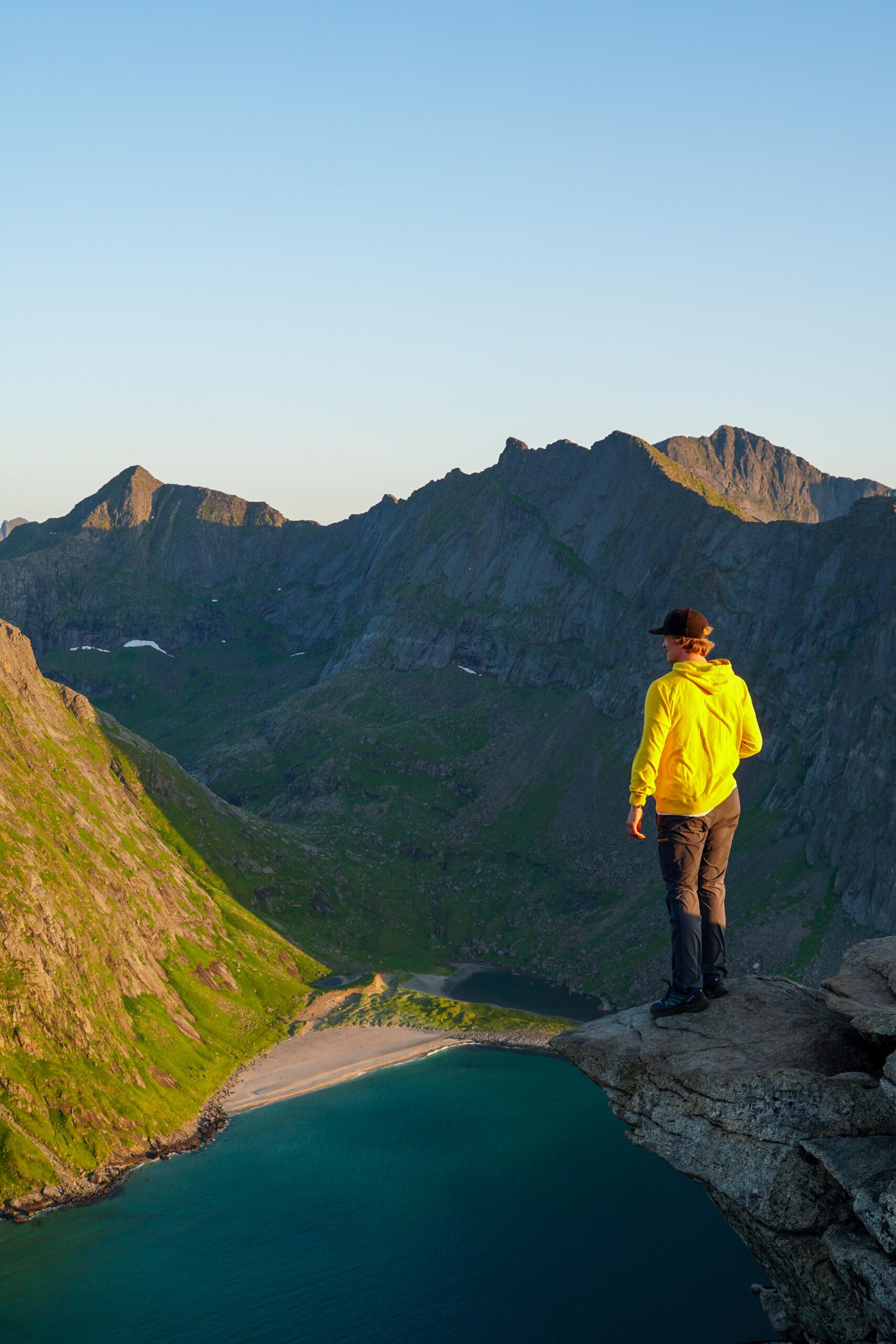
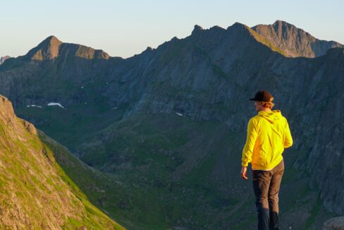
The last stretch is the steepest but most rewarding. The trail zigzags up rocky terrain with breathtaking views opening up over the cliffs. As you reach the summit ridge, the full panorama of Kvalvika Beach comes into view. Be prepared for strong winds, as the summit is exposed.
The highest point is marked by a small cairn, but the best photo spot is just before it – a ledge where hikers can capture the iconic shot overlooking the beach.
Hike Map – GPX Route and Elevation Profile
Weather Forecast – Check the Weather Before You Hike

GPX Note
Please note that the GPX files provided are not 100% precise. They should be used as a general reference for guidance and not as the sole source of navigation. Always ensure to stay aware of your surroundings to ensure your safety while hiking.