About This Hike – A Short Introduction
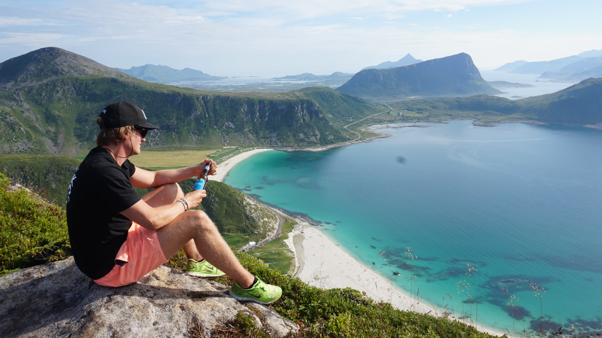
Mannen, standing at 400 meters above sea level, is one of the most accessible and breathtaking peaks in the Lofoten Islands. This relatively easy hike rewards you with a spectacular panoramic view of Haukland Beach and Uttakleiv Beach. The trail is suitable for most hikers, including beginners, but requires basic hiking experience and caution in wet conditions.
The entire round trip to Mannen covers a distance of 3.5 kilometers. While the duration of the hike can vary based on individual pace and the number of breaks taken, it typically takes around 2 to 3 hours to complete.
Hike Overview – What to Expect on the Hike
The hike to Mannen offers a moderately challenging yet rewarding experience, showcasing some of Norway’s most stunning coastal landscapes.
Starting from the parking area at Haukland Beach, the trail begins on an old cart road leading inland. After approximately 500 meters, a clear path ascends the mountainside. The initial section traverses grassy terrain, which can become muddy after rainfall, so proper hiking footwear is advisable. As you ascend, the trail becomes steeper, incorporating several switchbacks to ease the climb.
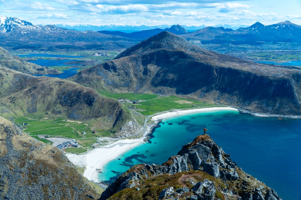
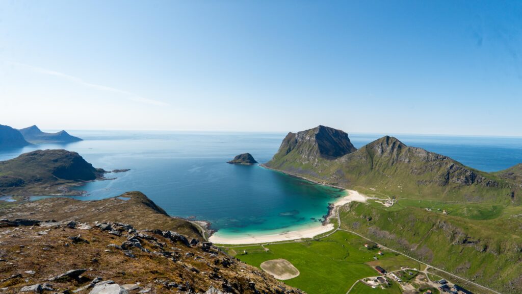
Upon reaching a ridge, the path offers vistas of both Haukland and Uttakleiv beache’s white sands and turquoise waters, often drawing comparisons to tropical paradises.
The final approach to the summit involves navigating a narrower ridge with some exposure; caution is advised, especially in wet or windy conditions.
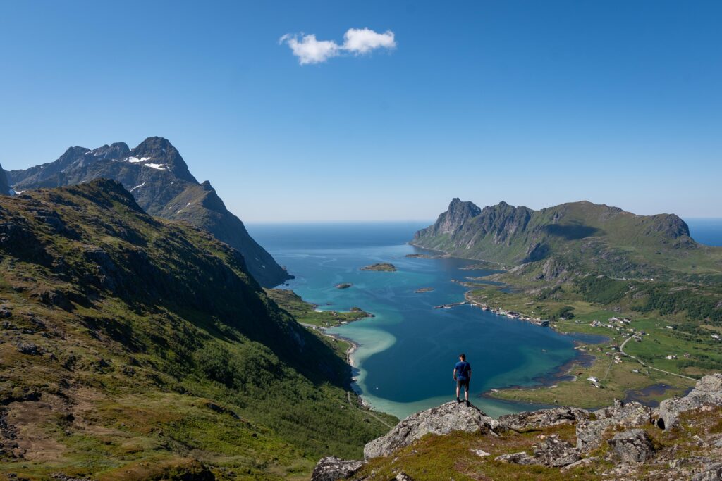
At the summit, hikers are greeted with panoramic views encompassing the Lofoten archipelago, including the beaches below and dramatic mountain peaks.
Getting There & Parking – How to Get There and Where to Park
To find the starting point of the hike to Mannen, follow the road towards Haukland, and after approximately 10 km, you will arrive at Haukland Beach. This is where you will find the parking, just before the tunnel to Uttakleiv.
Note that during the summer months, parking fills up quickly, so arriving early in the morning or later in the evening is recommended.
Trailhead – How to Find the Start of the Hike
From the parking area at Haukland Beach, cross the road and follow the gravel road inland, away from the beach. After a few hundred meters, you will see a trail ascending on the left side. The trail starts with grassy terrain and gradually becomes steeper.