Your guide to hiking in Lofoten
Your guide to hiking in Lofoten
Røren (295m)
Medium

About This Hike – A Short Introduction
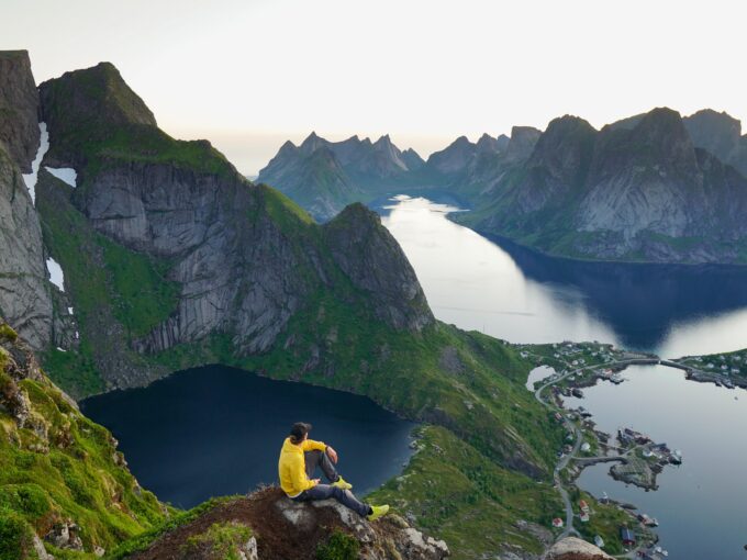
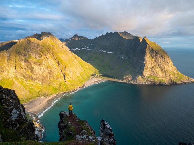
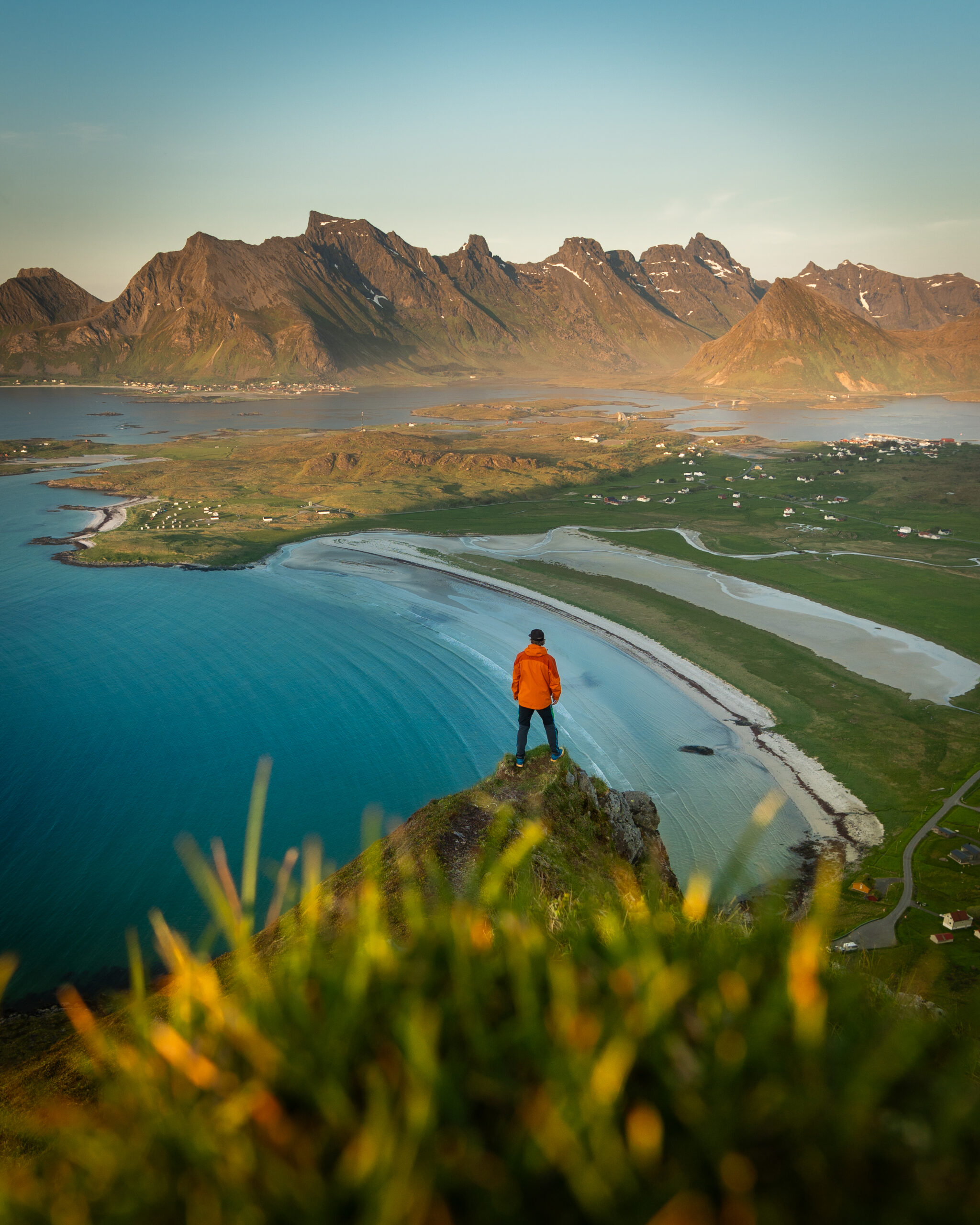
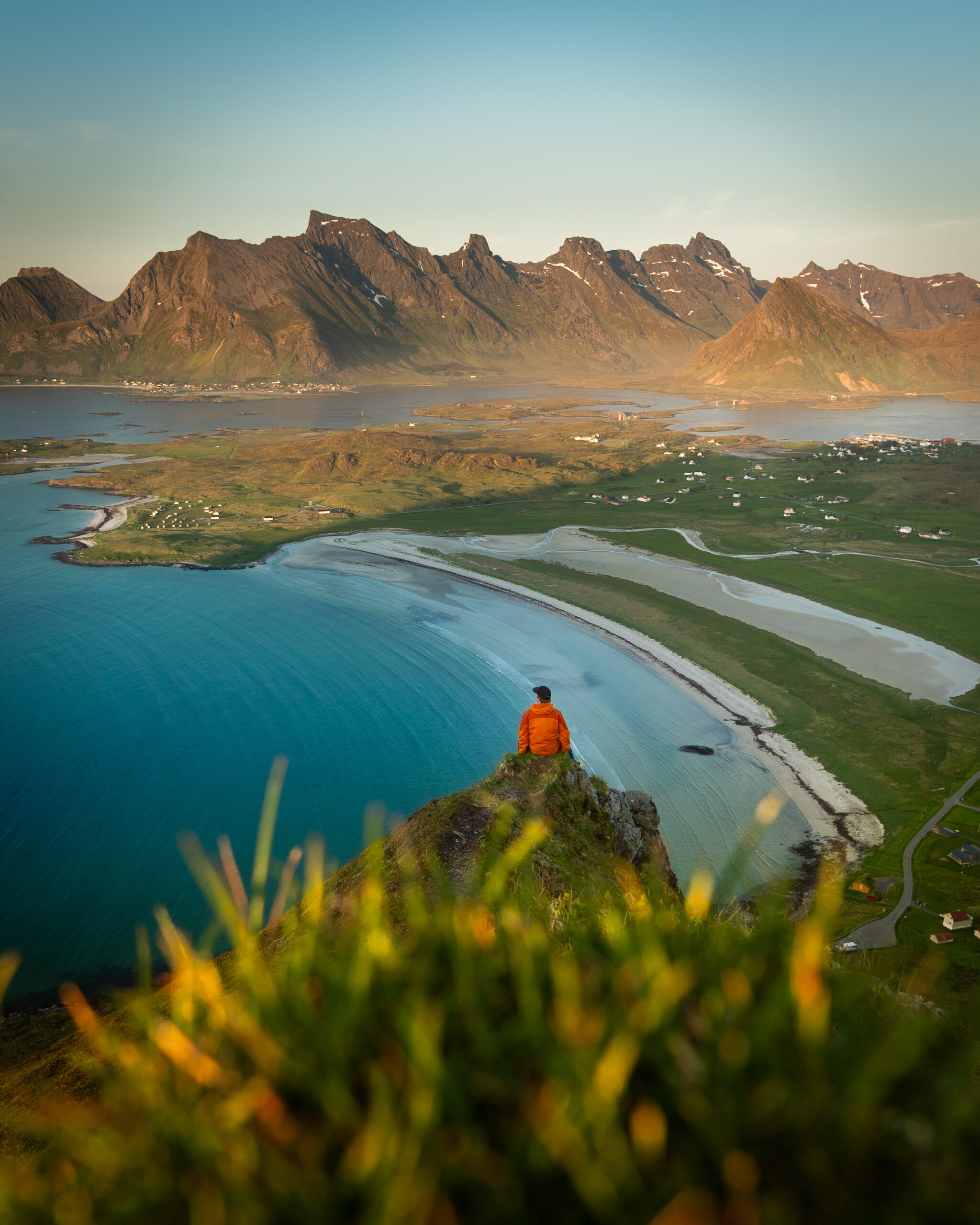
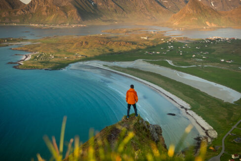
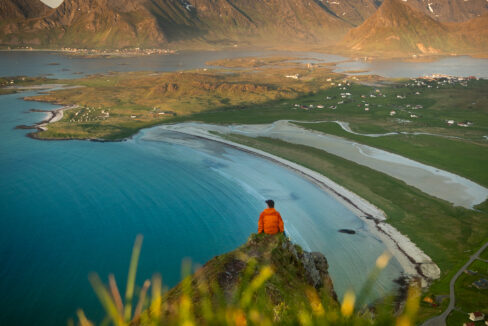
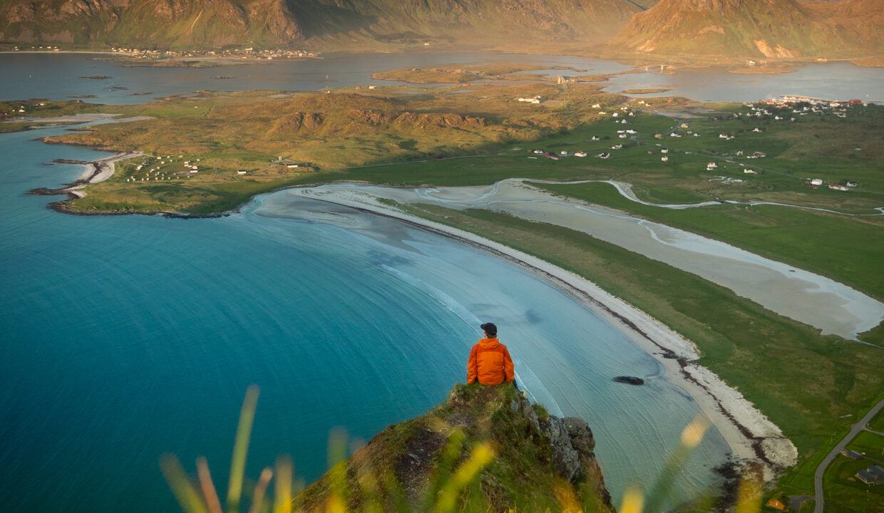
Røren (295m) is an easy but rewarding hike located near Yttersand, just outside Fredvang on Moskenesøy in the Lofoten Islands. The trail follows a long, flat ridge rather than a steep peak, offering breathtaking views of Yttersand Beach, the Norwegian Sea, and the surrounding mountains. With a gentle ascent and well-trodden paths, this hike is suitable for most hikers, making it a great option for a short but memorable adventure.
The entire hike is 3-4 km round-trip and typically takes 2 to 2.5 hours, depending on pace and stops.
Getting There & Parking – How to Get There and Where to Park
From the E10 highway, turn off toward Fredvang and cross the twin Fredvang bridges onto Moskenesøy. Instead of turning into Fredvang village, continue straight toward Yttersand until the road ends by the beach parking area.
Parking at Yttersand is free, but limited, with only a handful of spots available.
If full, alternative parking is available near Innersand at the Ryten trailhead further down the road.
Click here to find the parking lot on Google Maps.
- Distance from Leknes: Approximately 11 km (15-minute drive)
- Distance from Svolvær: Approximately 80 km (1 hour 20-minute drive)
- Distance from Reine: Approximately 26 km ( 35-minute drive)
Trailhead – How to Find the Start of the Hike
The trail starts at the parking area. Right at the parking lot you will see a fence and a gate that you go through and instead of following the gravel road ahead, turn immediately left and walk onto the smaller trail that runs along the base of the hill. The path is well-trodden but unmarked, gradually leading uphill toward the ridge of Røren.
Hike Overview – What to Expect on the Hike
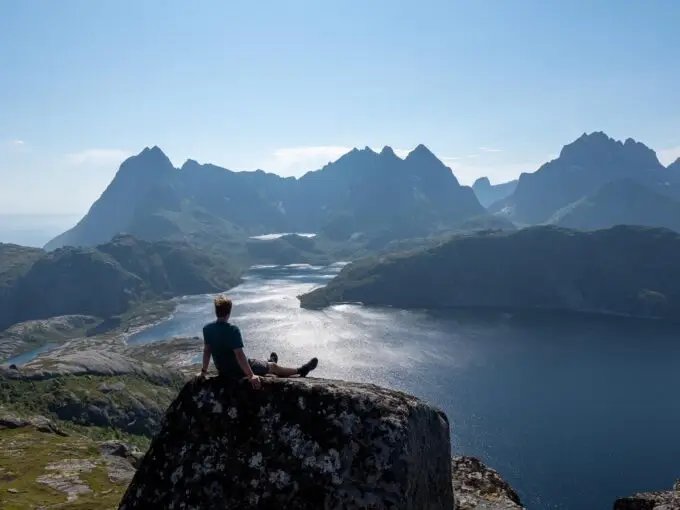
The first part of the hike is a gentle ascent along the mountainside, with expansive views opening up early on. The trail curves around the hill, offering glimpses of the coastline and turquoise waters below.
After about 20–30 minutes, you’ll reach a small valley with a lake, where the trail bends to the right and becomes steeper and climbs onto the ridge.
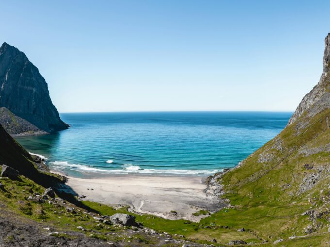
Once on the ridge of Røren, the terrain flattens, making for an easy and scenic walk. The views from here are stunning, with Yttersand Beach and its white sand stretching below, the peaks of Flakstadøya rising in the distance, and the open sea extending to the horizon.
The highest point, at 295 meters, offers a fantastic view, making it a perfect spot to take a break and enjoy the scenery.
Hike Map – GPX Route and Elevation Profile
Weather Forecast – Check the Weather Before You Hike

GPX Note
Please note that the GPX files provided are not 100% precise. They should be used as a general reference for guidance and not as the sole source of navigation. Always ensure to stay aware of your surroundings to ensure your safety while hiking.