Your guide to hiking in Lofoten
Your guide to hiking in Lofoten
Glomtinden (419m)
Medium


About This Hike – A Short Introduction
Glomtinden, standing at 419 meters above sea level, offers an accessible yet rewarding hiking experience in the Lofoten Islands. The 5.6 km round-trip trail takes approximately 3 hours to complete, making it an excellent choice for those looking for a short but scenic adventure. The trail is moderately challenging, with a mix of gentle inclines, steeper sections, and a final stretch that requires some light scrambling.
Getting There & Parking – How to Get There and Where to Park
The parking for the hike to Glomtinden is conveniently located between Kabelvåg and Henningsvær along the E10 highway. If you are driving from Kabelvåg toward Henningsvær, you will find the small parking area on the right-hand side of the road, near Rørvikvatnet Lake.
The parking space is limited and fills up quickly, especially during the summer months, so arriving early is recommended. If the parking lot is full, make sure to find a safe alternative without blocking the road or other vehicles.
Click here to find the parking lot on Google Maps.
- Distance from Leknes: Approximately 53 km (55-minute drive)
- Distance from Svolvær: Approximately 15 km (20-minute drive)
- Distance from Reine: Approximately 100 km (1-hour 50-minute drive)
Trailhead – How to Find the Start of the Hike
The hike begins on the closed-off gravel road where you parked your car, the road gently ascends above the E10 highway, providing beautiful views of Rørvikvatnet Lake as you make your way up. After approximately 1.6 km, you will reach an unmarked trail on the right-hand side, which leads toward Glomtinden’s summit. It is important to turn here, as the gravel road continues further but does not lead to the peak.
Hike Overview – What to Expect on the Hike
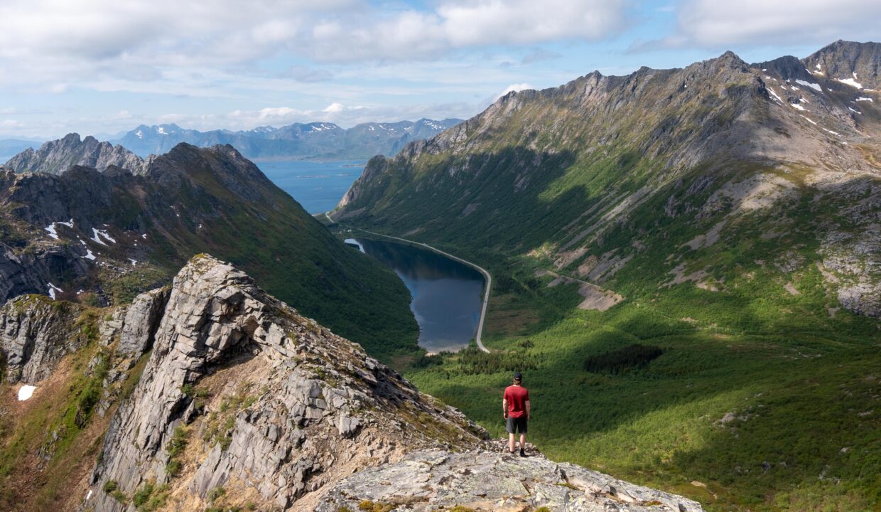
The first part of the hike follows a gradual ascent along a gravel road, offering stunning views of Rørvikvatnet Lake as you gain elevation. The walk is easy at this stage, making for a pleasant warm-up before the steeper sections begin.
After about 1.6 km, you will come to a small, unmarked trail branching off to the right. This is the path to Glomtinden, and it is essential to take this turn since the gravel road continues in another direction. From here, the trail becomes steeper and narrower, transitioning from a gentle walk to a more demanding climb.
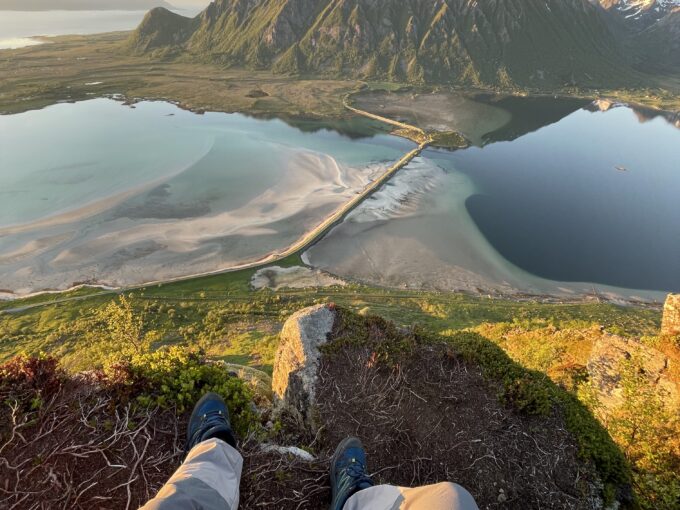
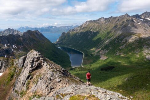
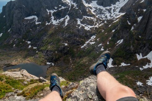
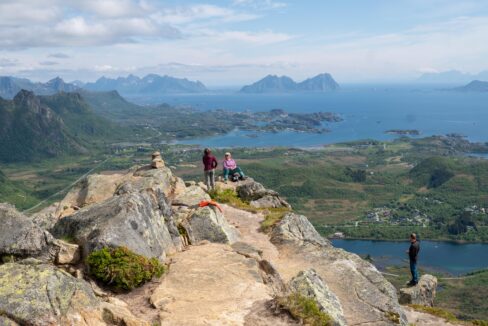
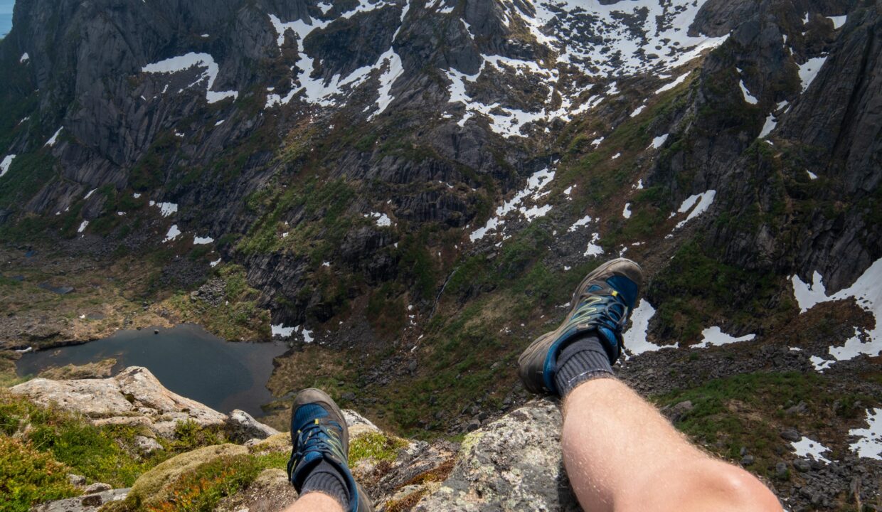
At approximately 2.7 km, you will reach a scenic plateau with breathtaking views of Rørvikvatnet and Hopsvatnet Lakes, as well as the towns of Svolvær and Kabelvåg. This is an excellent place to take a break and soak in the landscape before making the final push to the summit. The last 200 meters of the hike require light scrambling over rocks. The path is not technically difficult, but hikers should take their time and choose the safest route to reach the top.
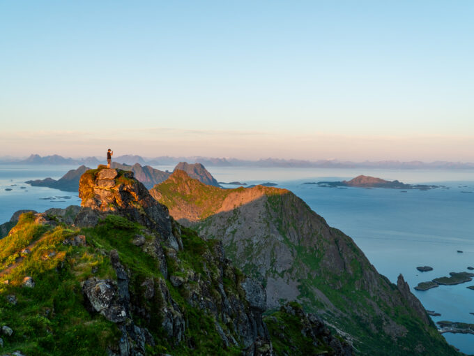
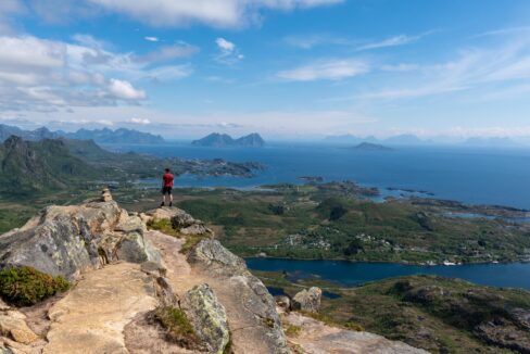
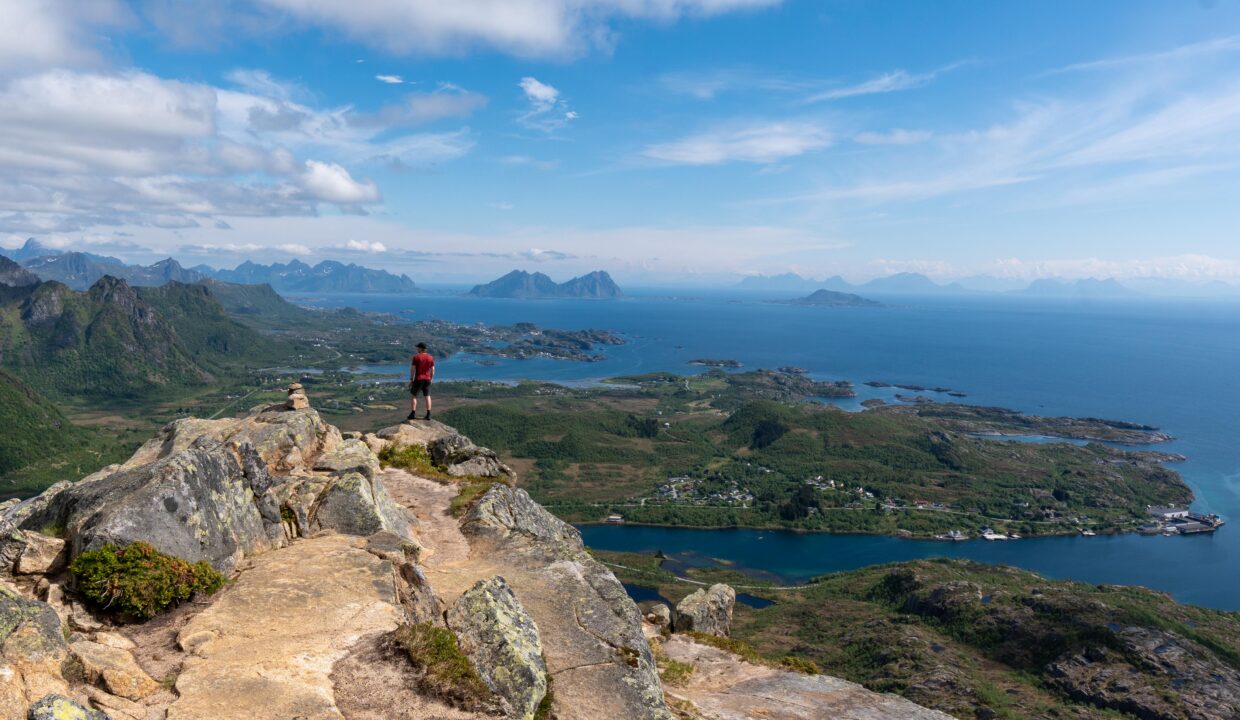
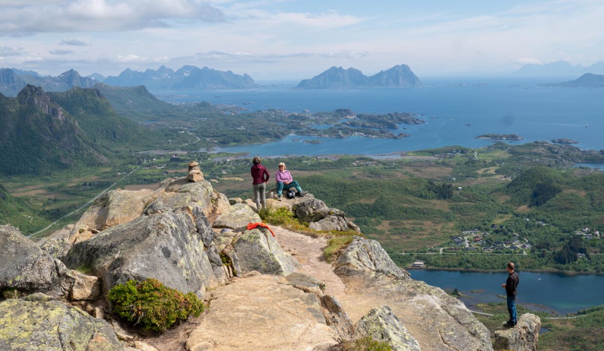
Upon reaching the 419-meter summit of Glomtinden, you are rewarded with incredible panoramic views stretching across the Norwegian Sea, the dramatic Lofoten coastline, and towering peaks like Vågakallen.
Hike Map – GPX Route and Elevation Profile
Weather Forecast – Check the Weather Before You Hike

GPX Note
Please note that the GPX files provided are not 100% precise. They should be used as a general reference for guidance and not as the sole source of navigation. Always ensure to stay aware of your surroundings to ensure your safety while hiking.