About This Hike – A Short Introduction
Middagstinden is a short but rewarding hike in Mortsund on Vestvågøy, Lofoten. The trail offers fantastic views of fjords, mountains, and the open sea, making it a great choice for those looking for a relatively easy but scenic hike.
Hike Overview – What to Expect on the Hike
The hike starts near Mortsund, following a well-marked trail that gradually ascends through open terrain. The climb is steady but not too steep, with some short, steeper sections along the way. The trail surface consists of grass and rocky paths, which can be slippery after rain.
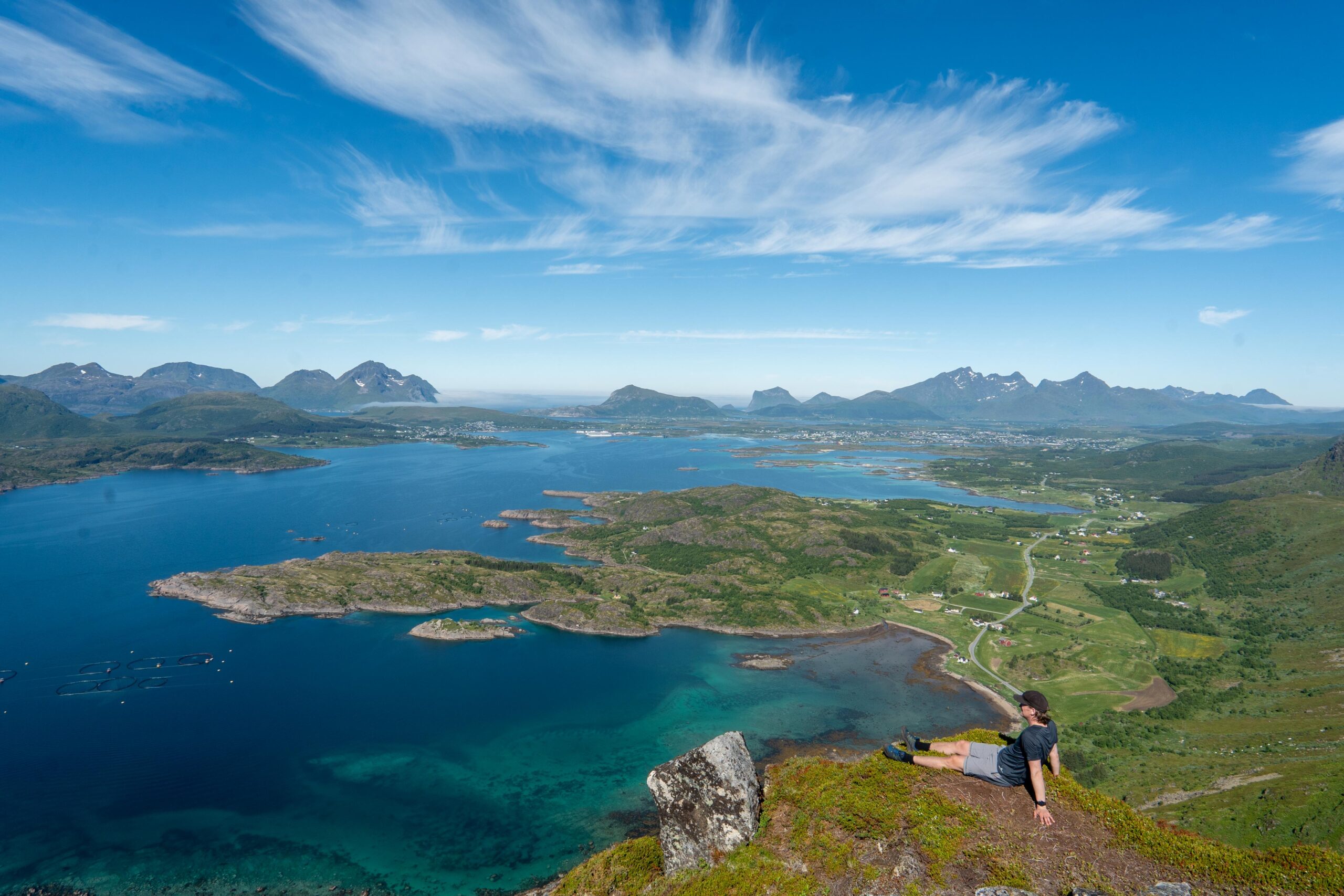
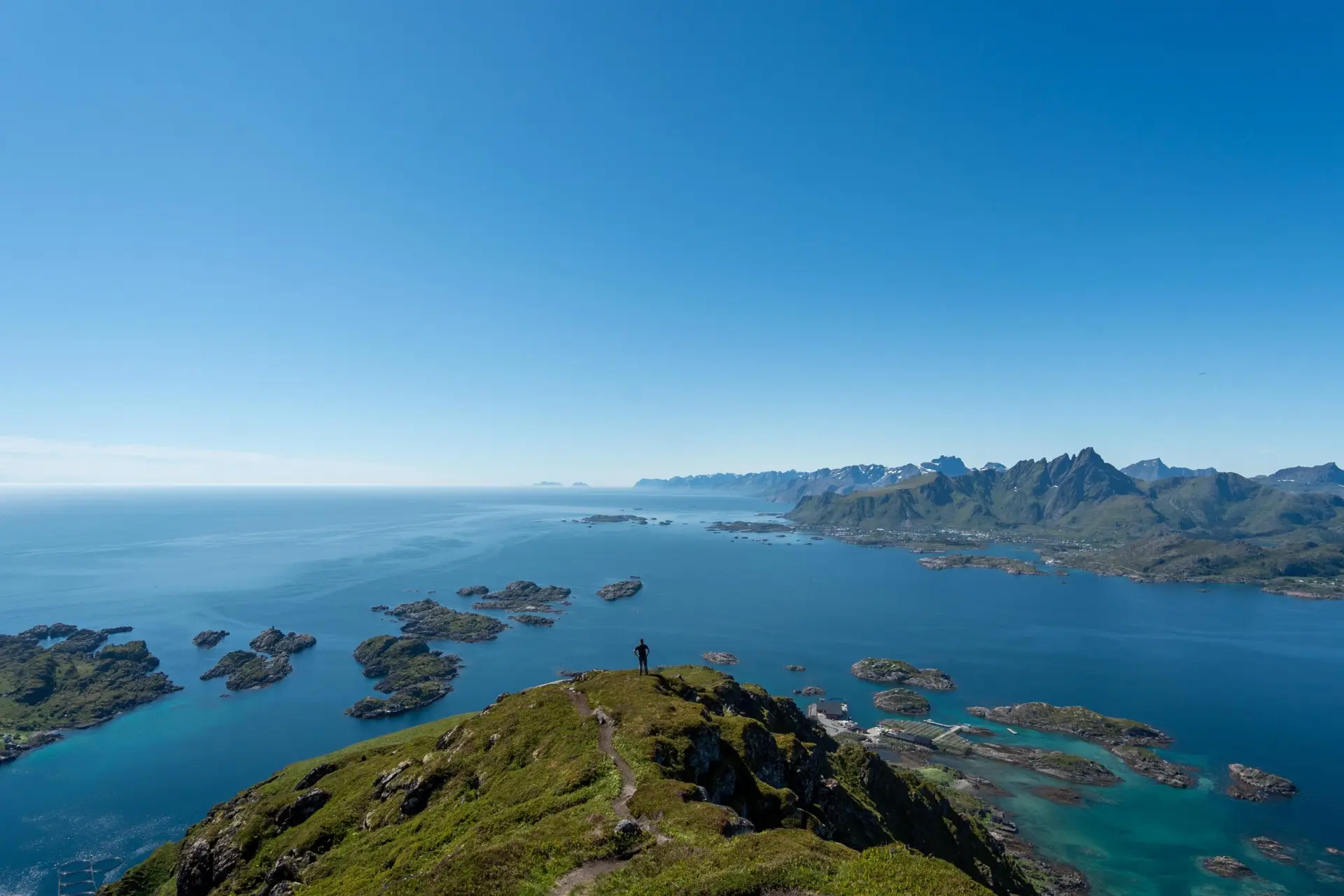
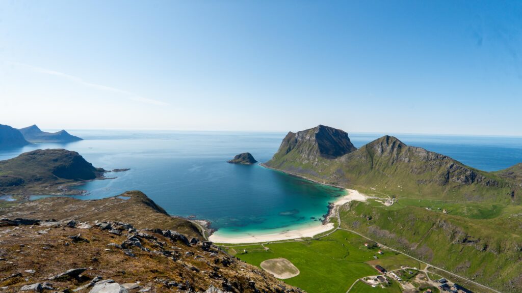
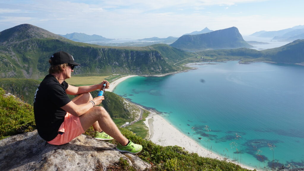
After about an hour, you reach the summit of Middagstinden (363 m), where you are rewarded with panoramic views of Vestfjorden, the fishing village of Mortsund, and the surrounding peaks of Vestvågøya.
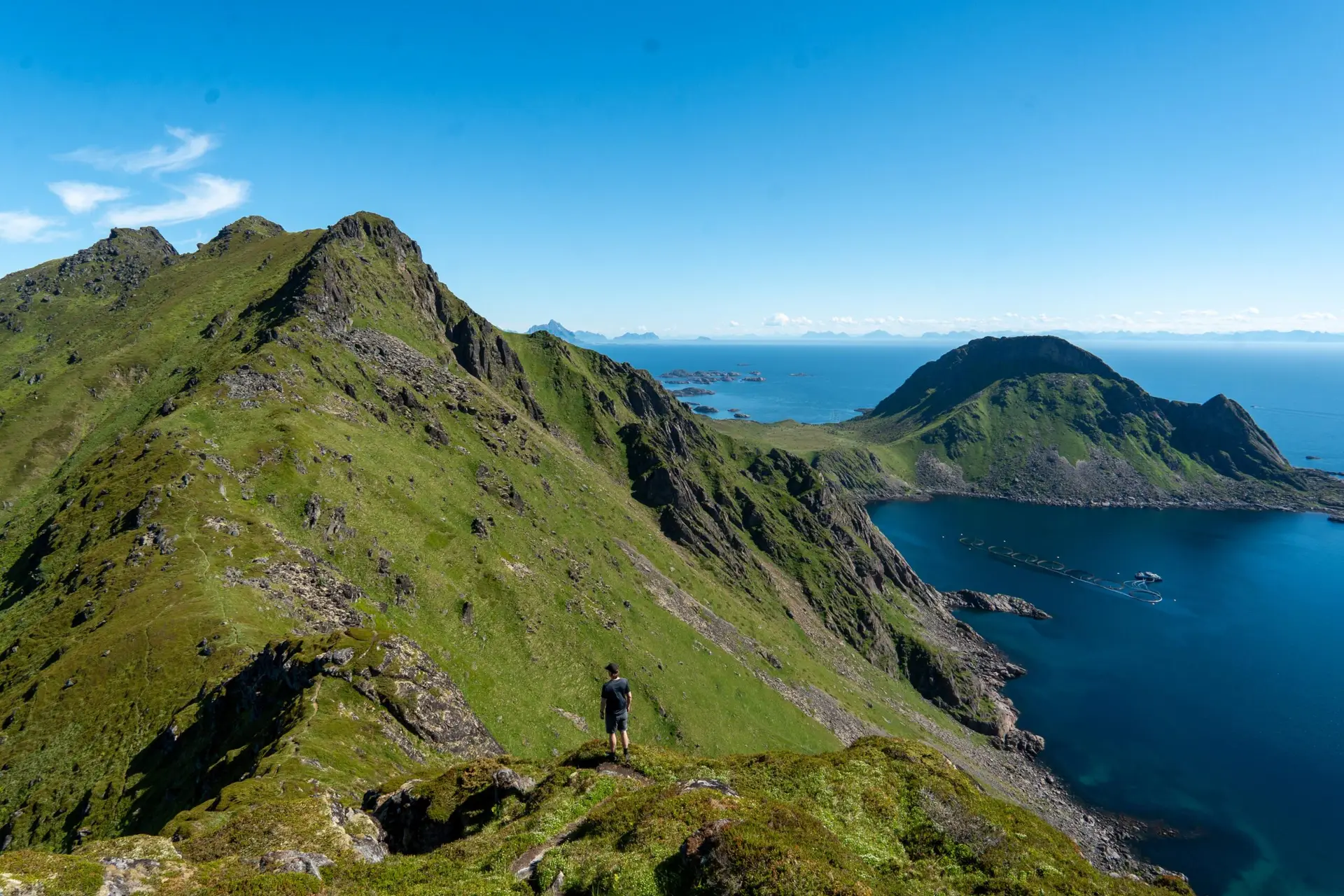
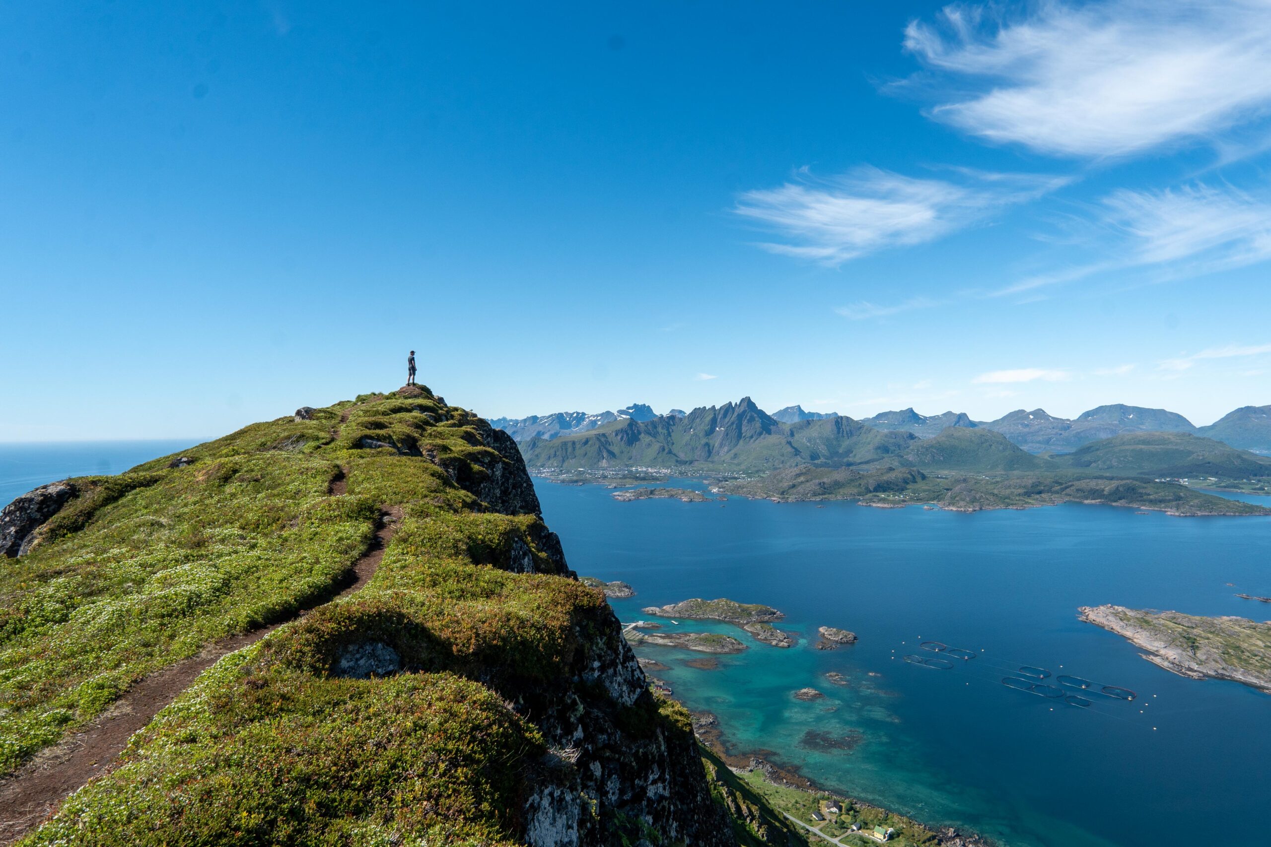
For those looking for a longer and more challenging hike, you can continue to Breidtinden (501 m). The trail beyond Middagstinden becomes less defined and crosses more rugged terrain, but the effort is worth it. From the top of Breidtinden, the views stretch even further across Lofoten’s amazing mountain landscape.
Getting There & Parking – How to Get There and Where to Park
The hike starts in Mortsund, a short drive from Leknes. To get there, follow the road towards Mortsund, and once you reach Statles Rorbusenter, you will find a small parking area near the trailhead.
Parking is limited, so if you are hiking in summer, it is best to arrive early to secure a spot. Be sure not to block access to the rorbuer or private properties.
Trailhead – How to Find the Start of the Hike
The trail starts near the parking area on the other side of the road and is easy to find. Just walk over the road and follow the marked trail that leads uphill.