About This Hike – A Short Introduction
The hike to Saupstadtinden starts either before or after the tunnel leading to Unstad. To save around 150 meters of elevation gain, you can drive up the old road just before the tunnel and park at the top.
If you choose to park lower before the tunnel, you can hike up via the old road. If you park after the tunnel, you can also follow the old road upwards.
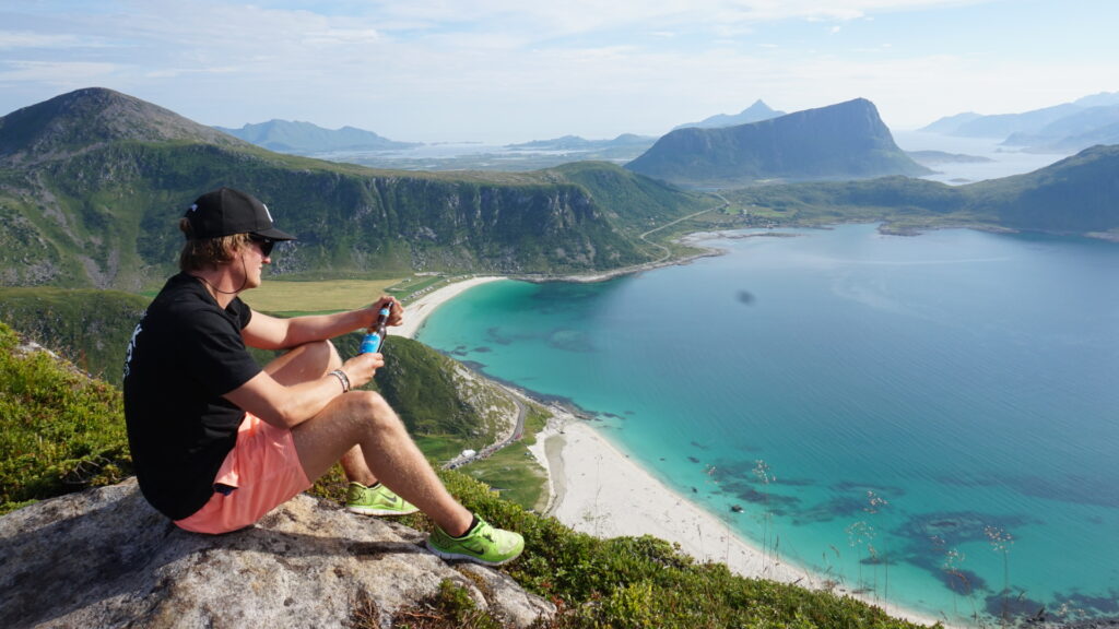
Reaching the summit rewards you with a breathtaking 360-degree view, including Unstad and Himmeltinden, the highest peak on Vestvågøy.
Hike Overview – What to Expect on the Hike
Getting There & Parking – How to Get There and Where to Park
Park your car on the old road to Unstad, which goes over the tunnel. By parking here, you save approximately 150 meters of elevation during your hike.
If the parking lot here is full or if you prefer a longer hike, you can drive through the tunnel to Unstad. After a while, you will find a fairly large parking lot on the right side of the road.
Trailhead – How to Find the Start of the Hike
Once at the parking area, you will easily find the trail leading towards the large mast. After passing the mast, the ascent becomes steeper. Some sections are quite rocky, and the trail may be difficult to follow in places. Keep an eye out for stone markings to stay on the correct path.