Your guide to hiking in Lofoten
Your guide to hiking in Lofoten
Tuva (477m)
Medium

About This Hike – A Short Introduction
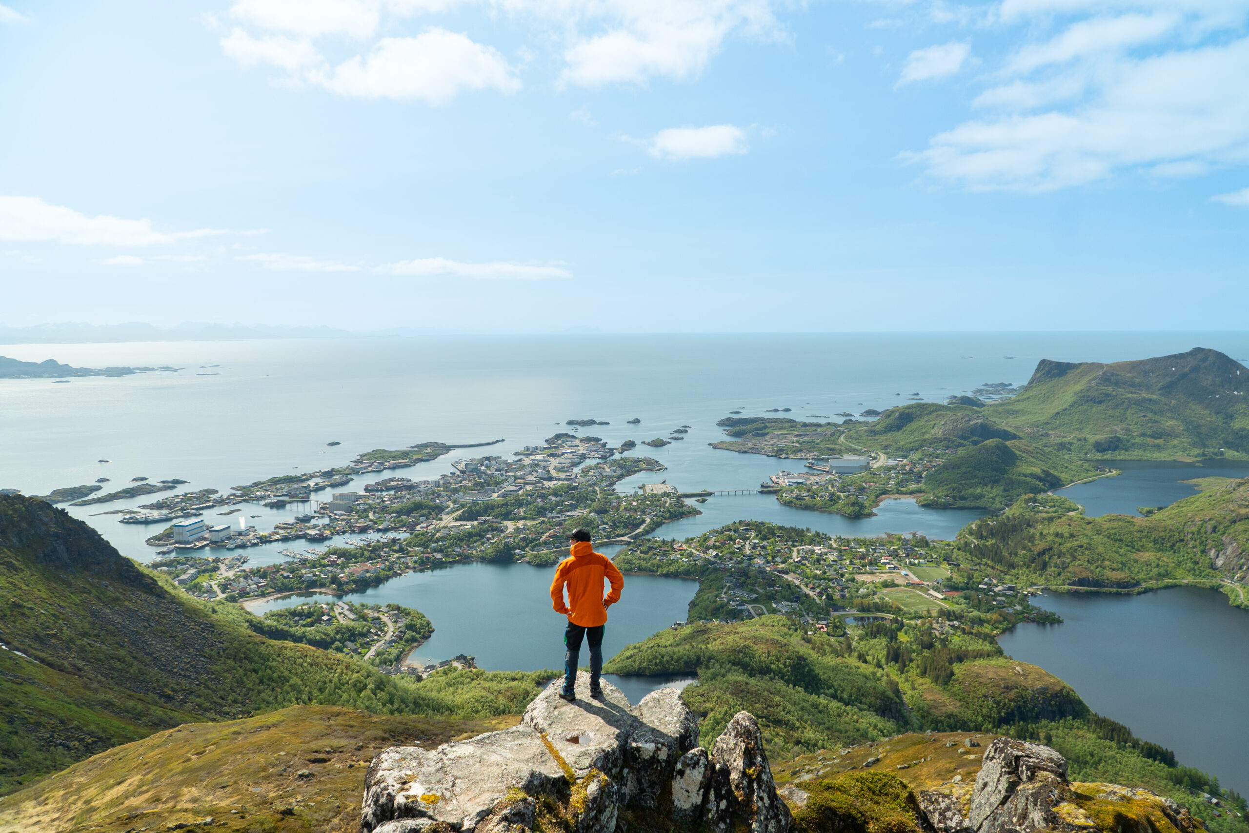
Tuva is a beautiful mountain peak rising above Svolvær, offering impressive views over the town, the Vestfjord, and nearby islands like Skrova. The hike is around 4 km return, with 477 meters of elevation gain, and usually takes 3 to 4 hours to complete. It’s a moderately challenging route with some steep parts and rocky sections, but no climbing is needed.
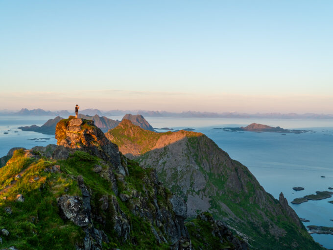
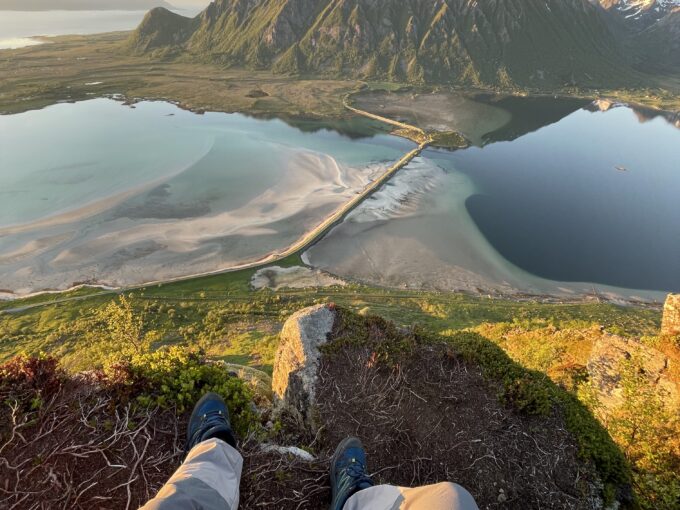
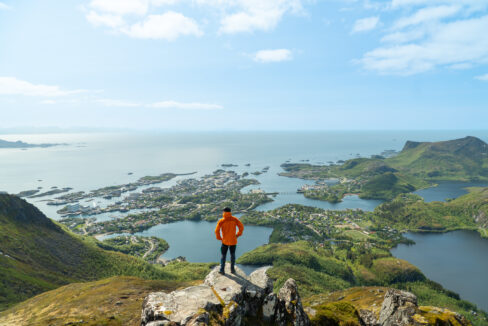
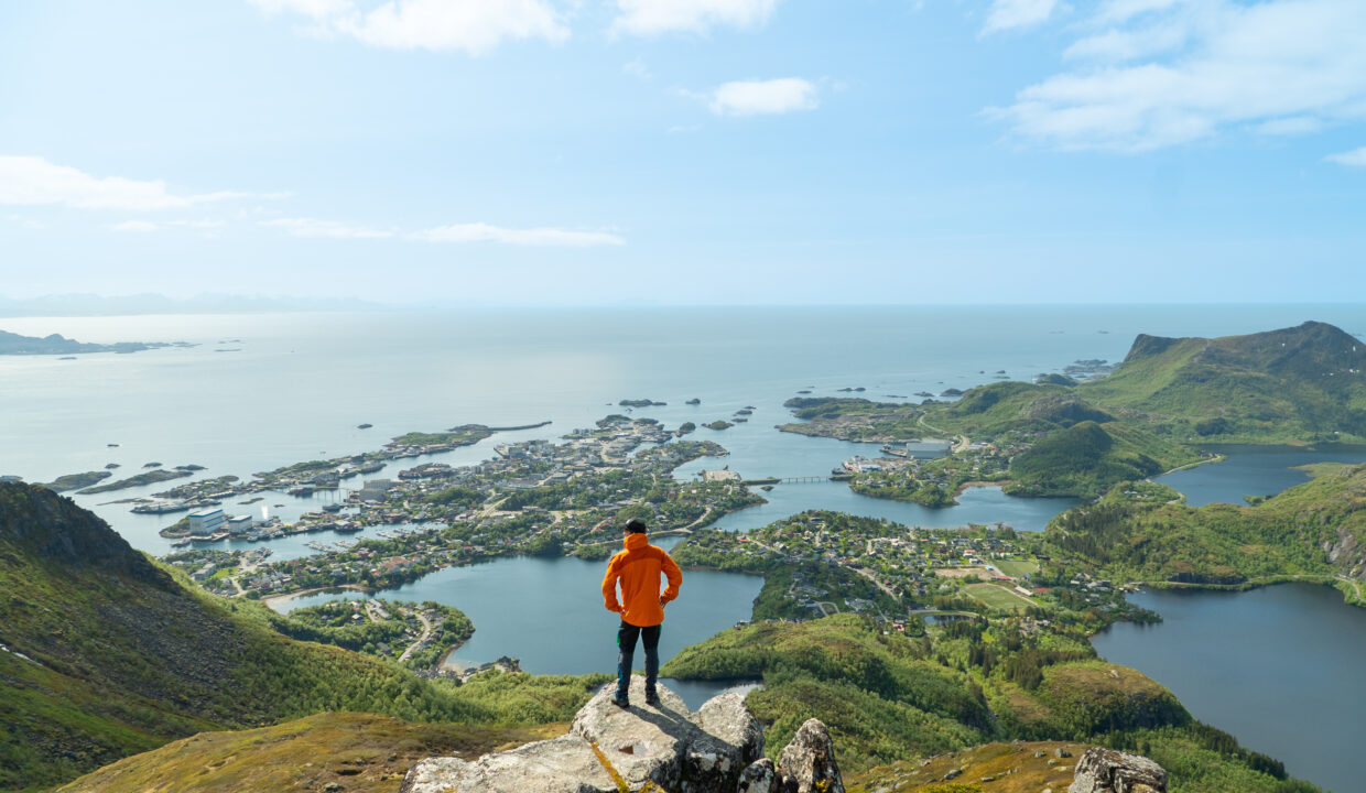
From the top, you’ll see a wide landscape that stretches from the harbor of Svolvær to the open sea, with the mighty Vågakallen towering in the distance. This hike is a great choice for anyone looking for a rewarding half-day trip with classic Lofoten scenery.
Getting There & Parking – How to Get There and Where to Park
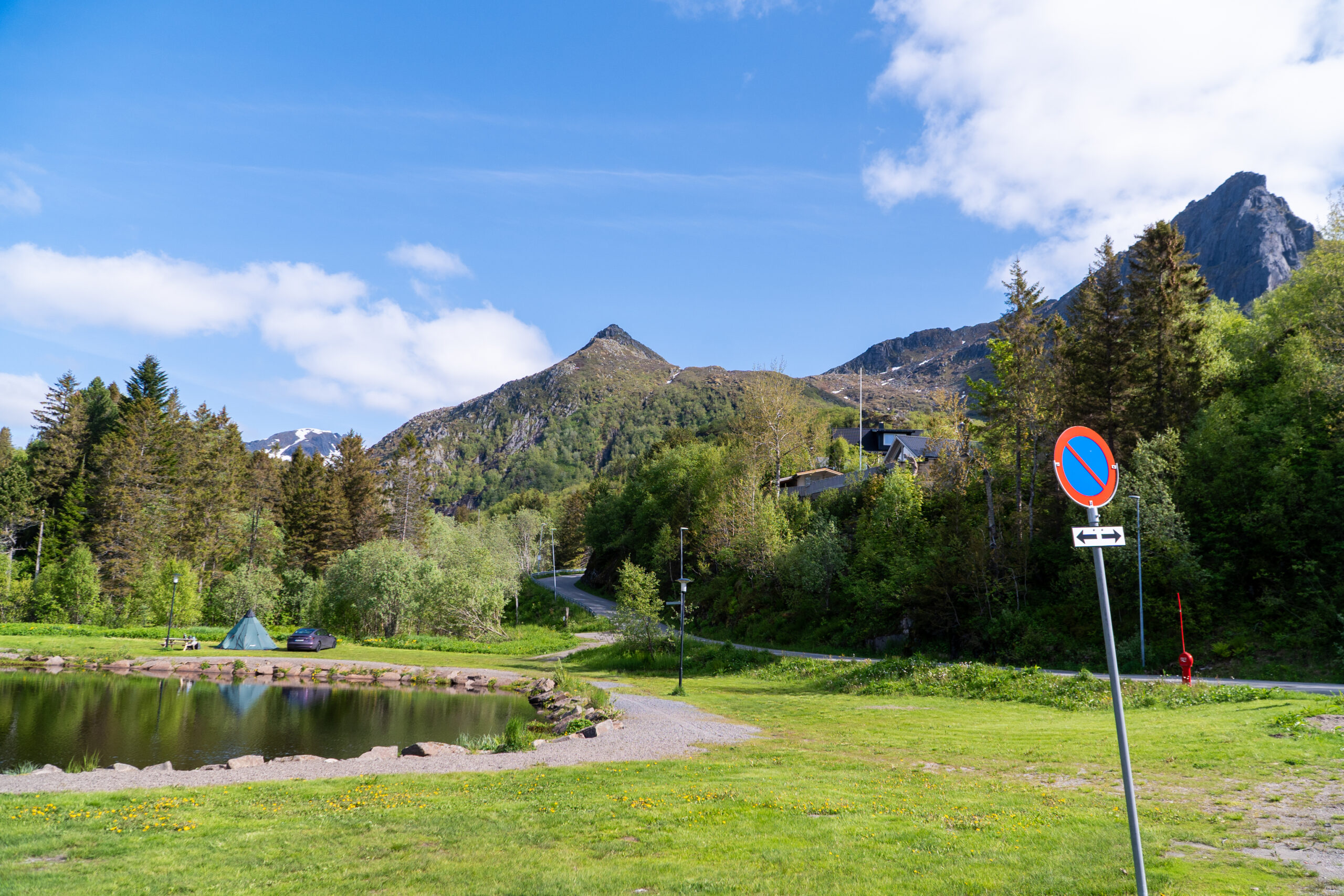
The hike starts in the Knutmarka neighborhood of Svolvær, just a short drive from the town center. There are two main parking options depending on availability:
- Closest parking: Drive up Vannverksbakken past Sommartjønna and the Red Cross cabin. Just before the road ends, turn right. After a few meters, you’ll see a small gravel area that can fit about 5–6 cars. This is the nearest parking to the trail.
Click here to find the parking lot on Google Maps.
- Larger parking: For more space, turn left at the Red Cross cabin and continue to Stranda Stadion, where there’s a large parking lot next to the football field. From there, it’s about a 5 minute walk to the trailhead.
Click here to find the parking lot on Google Maps.
If you’re staying in Svolvær, you can also walk to the start in roughly 30 minutes. Just follow the local roads south toward Knutmarka and Sommartjønna.
Trailhead – How to Find the Start of the Hike
There are two trailheads for the Tuva hike:
- Upper trailhead near the small parking: If you’ve parked at the small gravel lot at the end of Vannverksbakken, the trail begins just a few meters beyond the parking area, entering the forest to the west. This is a clear and well-used entry point.
- Main (official) trailhead with wooden sign: If approaching from Sommartjønna or on foot from Stranda Stadion, follow the gravel road Knutvikveien past the pond. After a while, the road curves – and here you’ll find a large wooden sign marked “Tuva / Blåtinden”. This is considered the main trailhead, and the most common starting point for hikers.
Both paths join up early in the hike and follow the same route toward Tuva. The trail quickly climbs into birch forest, following a clear dirt track and occasional wooden planks over wet ground.
Hike Overview – What to Expect on the Hike
The trail starts with a moderate incline through woodland, following the stream upwards. After around 20–30 minutes, you reach Grønnåsvatnet, a calm mountain lake where many hikers take a short rest. The path continues along the left side of the lake, with wooden boardwalks in place to help you cross wet sections.
After the lake, the trail becomes steeper and rougher, with rocky and muddy parts. In wet weather, this section can be slippery, so take your time. Some parts are reinforced with ropes to assist on the steepest slopes. You’ll also pass a small waterfall cascading beside the trail – a nice spot to stop and cool off.
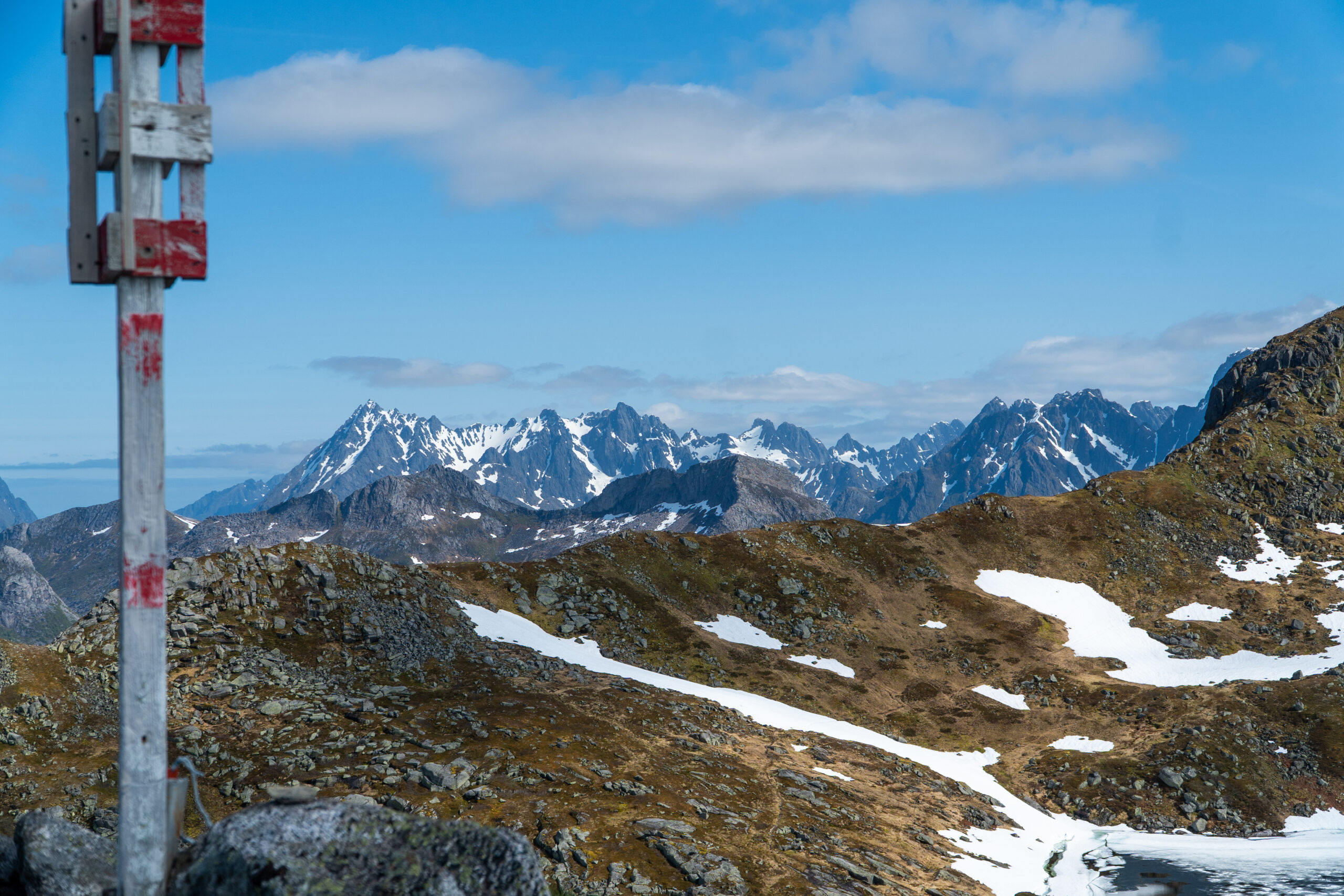
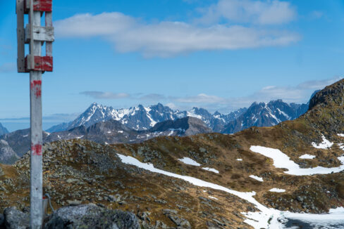
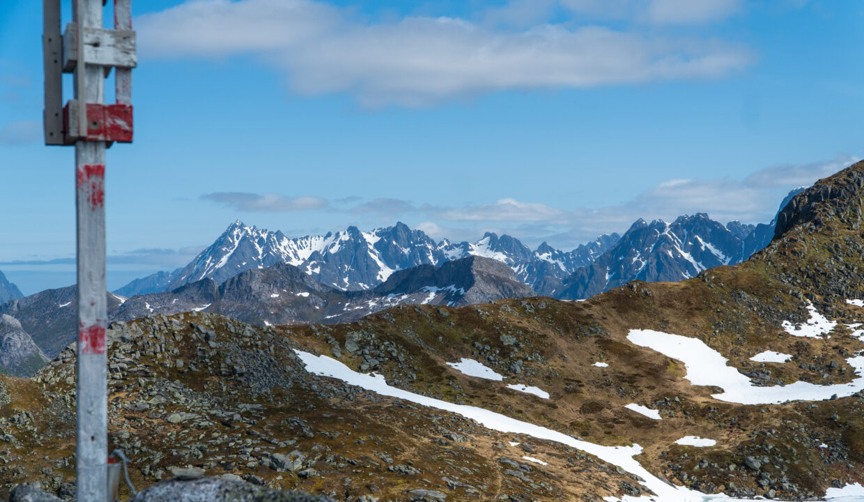
Higher up, the landscape opens. You’ll reach another small lake, and arrive at a fork in the trail. Here, turn left to head toward the summit of Tuva. (The right path continues to Blåtinden, a longer and more demanding route.)
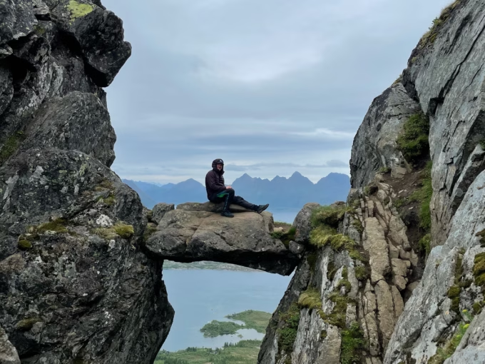
The final stretch follows a narrow ridge with a drop-off on one side. While not dangerous, it may feel exposed for those uncomfortable with heights. The trail stays clear, and there’s no scrambling involved. Soon, you’ll reach the summit cairn, and the views are nothing short of spectacular: Svolvær, Skrova, Kabelvåg, Vågakallen, and the Norwegian mainland are all visible on a clear day.
Take a moment to enjoy the panorama, then follow the same path back down. The descent can be tricky in parts, especially when wet, so hiking poles and good footwear are strongly recommended.
Hike Map – GPX Route and Elevation Profile
Weather Forecast – Check the Weather Before You Hike

GPX Note
Please note that the GPX files provided are not 100% precise. They should be used as a general reference for guidance and not as the sole source of navigation. Always ensure to stay aware of your surroundings to ensure your safety while hiking.