Your guide to hiking in Lofoten
Your guide to hiking in Lofoten
Linken Svolvær (105m)
Easy

About This Hike – A Short Introduction
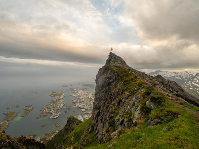
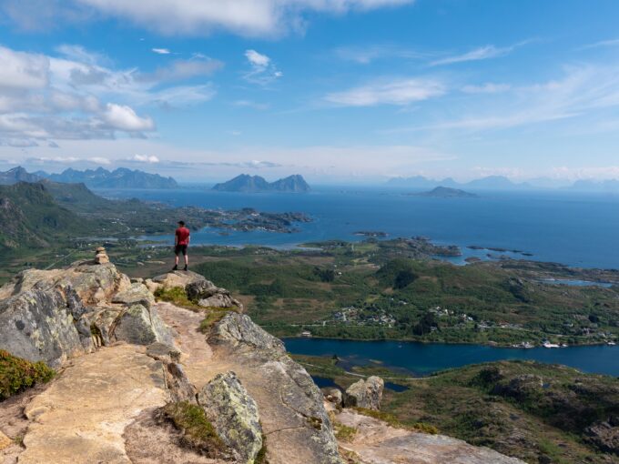
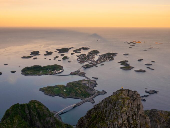
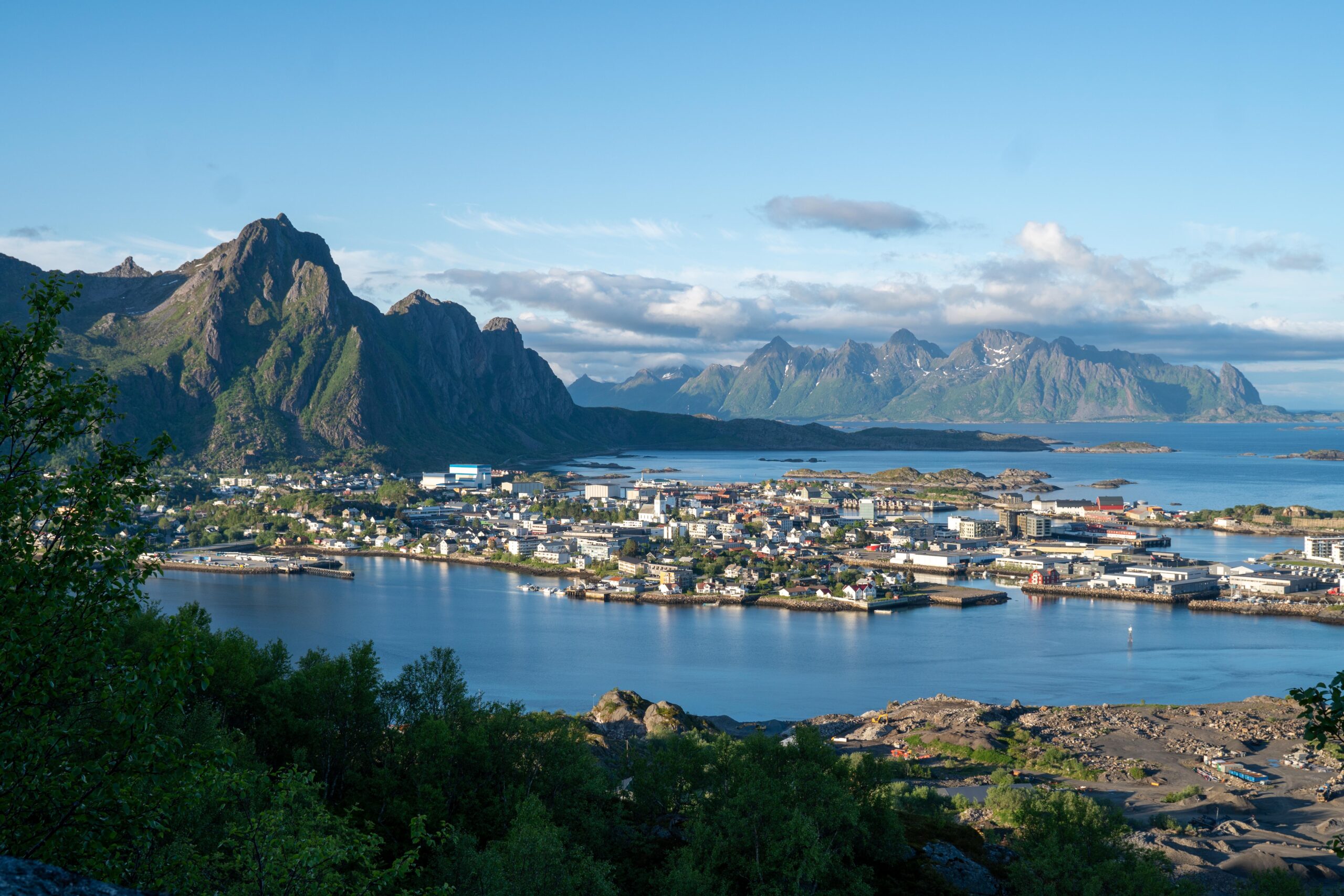
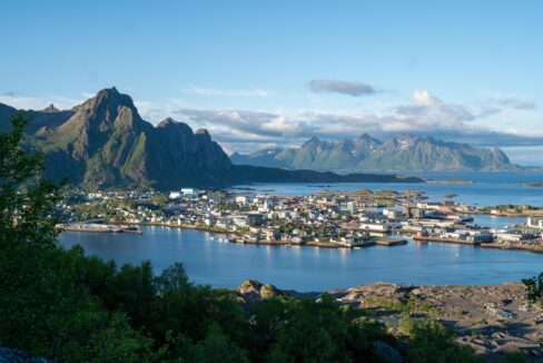
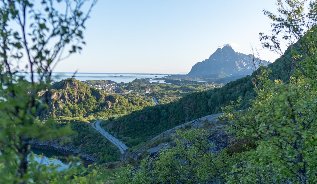
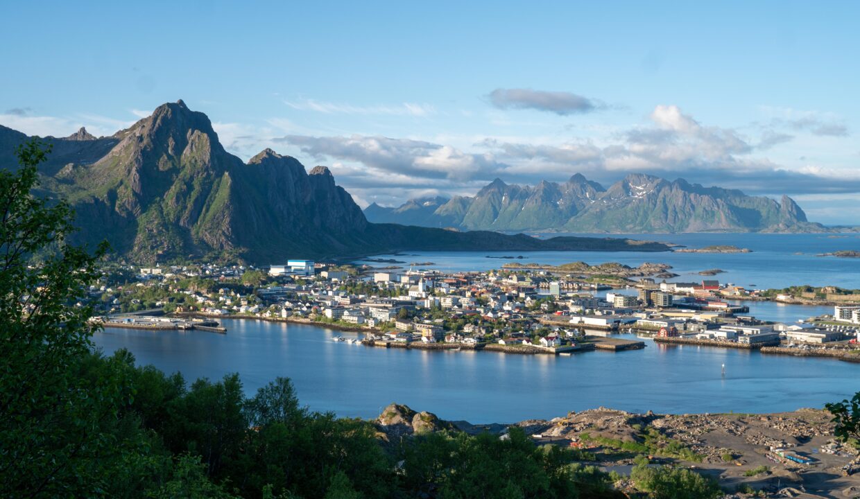
Linken, 105 meters above sea level, offers an easy and accessible hike suitable for all ages. The 3.8 km round-trip trail takes approximately 1 hour to complete, making it perfect for those seeking a short yet rewarding outdoor activity. The well-marked path leads to a viewpoint with stunning vistas over Svolvær and Kabelvåg, providing a unique perspective of the surrounding landscapes. Additionally, this trail serves as a starting point for those looking to venture further to Tjeldbergtinden, another popular peak in Svolvær.
Getting There & Parking – How to Get There and Where to Park
To reach the trailhead, drive along the E10 highway and turn onto Kongsvatnveien. After passing the Esso petrol station and Kiwi supermarket, you’ll find a parking area on the left side of the road. From here, it’s a short walk to the trail’s starting point.
Click here to find the parking lot on Google Maps.
Trailhead – How to Find the Start of the Hike
The trail begins just before the Svolvær fire station, where a sign pointing to “Tjeldbergtind.” From here, follow the gravel road all the way up to the top of Linken.
Hike Overview – What to Expect on the Hike
The hike to Linken is straightforward and enjoyable. Starting from the trailhead, follow the gravel road for about 1.4 km until you reach a large mast.
After passing the mast, a smaller path continues for approximately 100 meters leading to a plateau. From this vantage point, you’ll be rewarded with panoramic views of Svolvær and Kabelvåg.
The trail is well-maintained and poses no significant challenges, making it suitable for families with children and hikers of all skill levels.
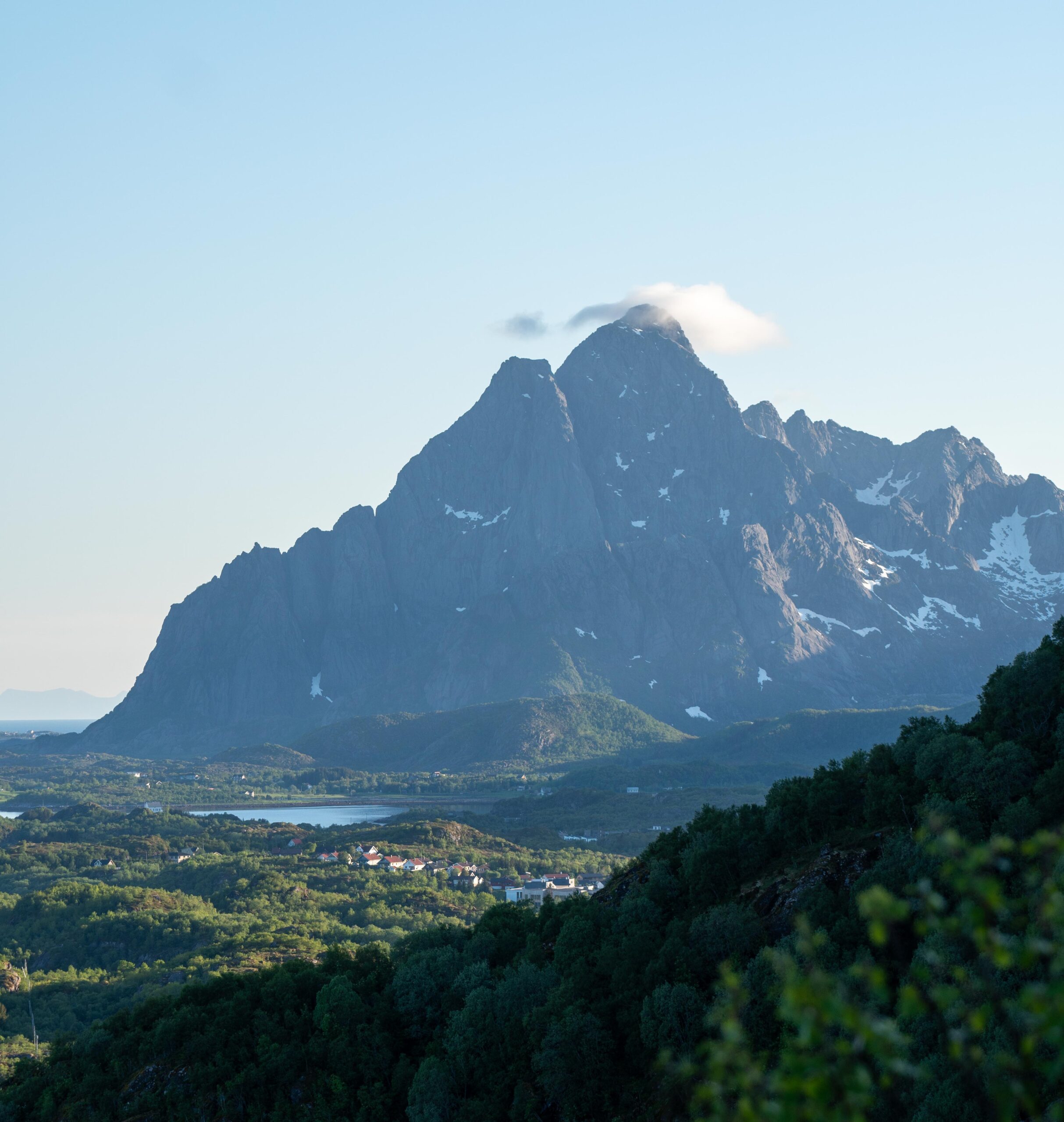
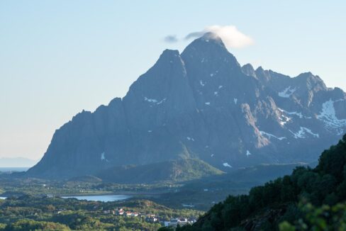
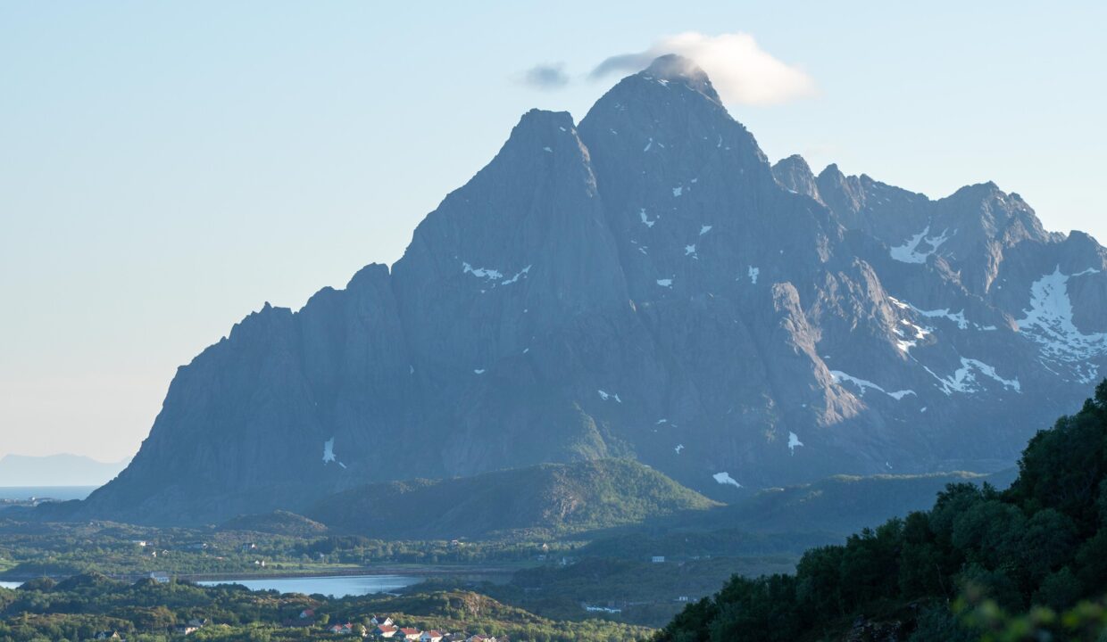
For those seeking a longer and more challenging hike, the trail to Tjeldbergtinden (367 meters above sea level) continues from Linken.
Overall, the hike to Linken provides an excellent opportunity to experience the natural beauty of the Lofoten Islands without undertaking a strenuous climb.
Hike Map – GPX Route and Elevation Profile
Weather Forecast – Check the Weather Before You Hike

GPX Note
Please note that the GPX files provided are not 100% precise. They should be used as a general reference for guidance and not as the sole source of navigation. Always ensure to stay aware of your surroundings to ensure your safety while hiking.