Your guide to hiking in Lofoten
Your guide to hiking in Lofoten
Offersøykammen (436m)
Medium


About This Hike – A Short Introduction
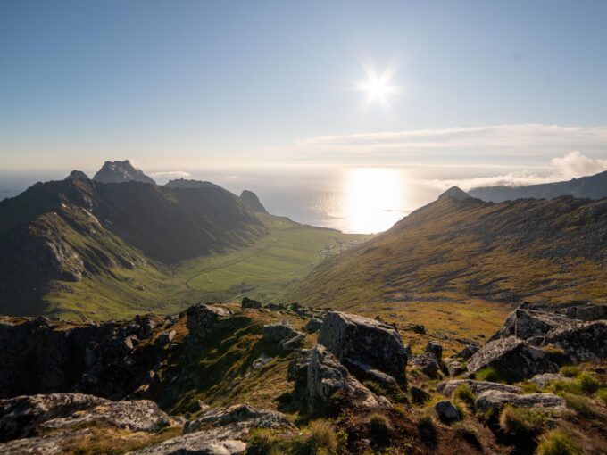
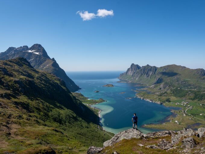
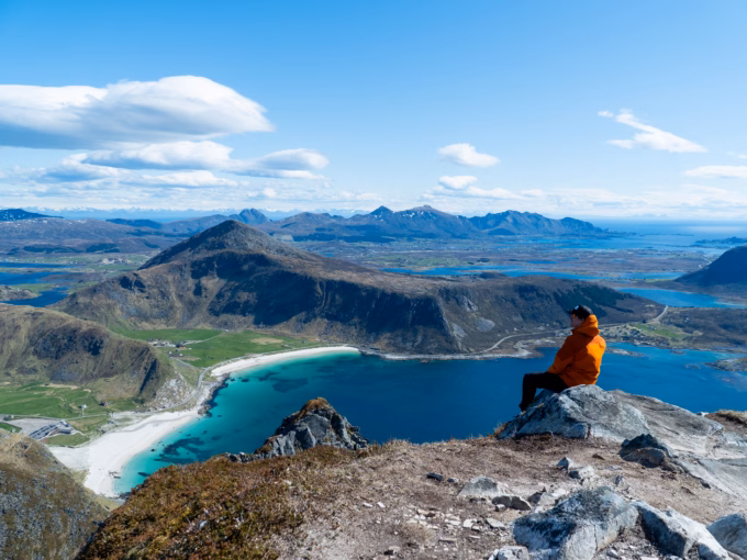
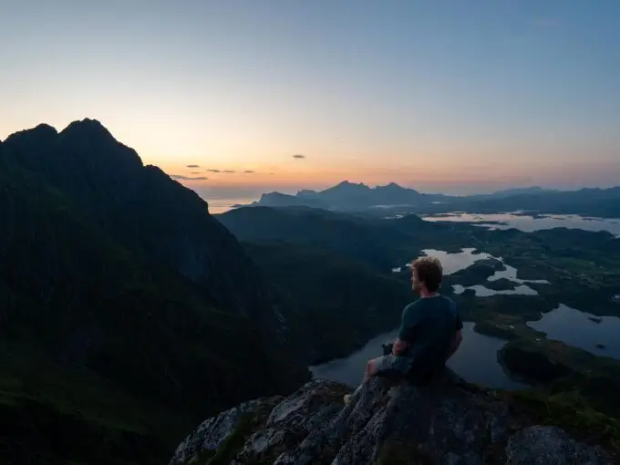
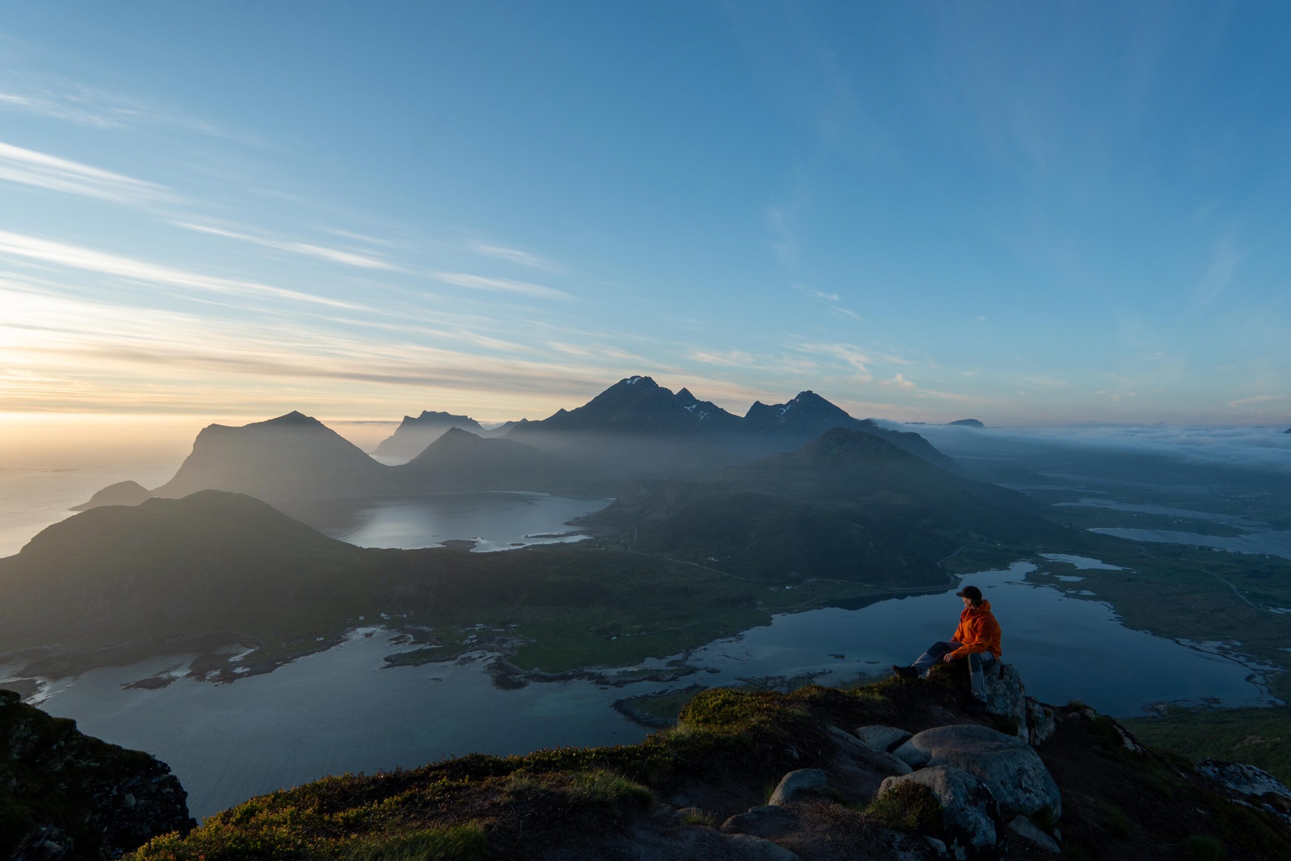
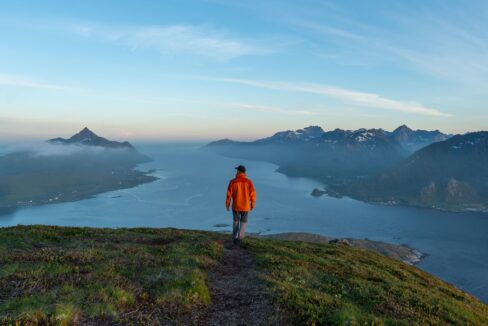
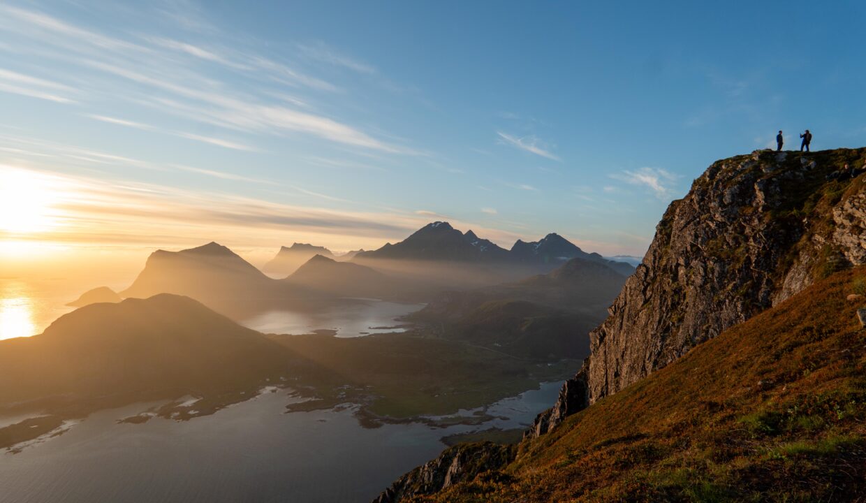
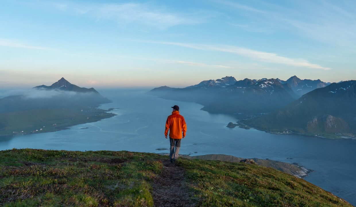
Offersøykammen is located on the island of Vestvågøy in Lofoten, Norway, offering stunning views of the surrounding landscape. The hike is popular among both tourists and locals, providing an incredible view from the summit.
Getting there & Parking
To access the Offersøykammen hike, head to the Skreda parking area, located near Nappstraumtunnelen along the E10 highway. This parking lot is well-marked, easily accessible, and serves as the starting point for both the original and new trails to Offersøykammen.
- Distance from Leknes: Approximately 7 km (10-minute drive)
- Distance from Svolvær: Approximately 70 km (1 hour 15-minute drive)
- Distance from Reine: Approximately 50 km (1-hour drive)
Click here to find the parking lot on Google Maps.
Trailhead – How to Find the Start of the Hike
From the Skreda parking lot, you have two trail options:
- The Original Trail:
- Walk approximately 500 meters along the E10 toward Nusfjord. You’ll find the trailhead on your left, just above a small cluster of red fisherman’s cabins, visible from the road.
- The New Trail:
- Starts closer to the parking lot and provides a steeper, more direct ascent. This trail is better suited for experienced hikers looking for a more challenging route.
Both trails are well-marked, making it easy to stay on track.
Trail Overview – What to Expect on the Hike
Once you park at Skreda, you have two options for the hike:
- The Original Trail: Walk approximately 500 meters along the E10 in the direction of the village of Nusfjord. The trailhead for the original hike will be on your left, just above a small cluster of red fisherman’s cabins visible from the road. The original trail begins through a forested area, where the path is quite steep in the early stages. As you continue, the trail opens up into a more open landscape, where the old original trail and the new trail intersect. From here, the hike becomes steeper again as you approach the summit.
- The New Trail: A newer, steeper path has been developed that begins closer to the parking area, offering a quicker route up. This trail is significantly steeper, so it’s better suited for hikers who want a more challenging ascent right from the start.
Trail Map
Weather forecast

GPX Note
Please note that the GPX files provided are not 100% precise. They should be used as a general reference for guidance and not as the sole source of navigation. Always ensure to stay aware of your surroundings to ensure your safety while hiking.